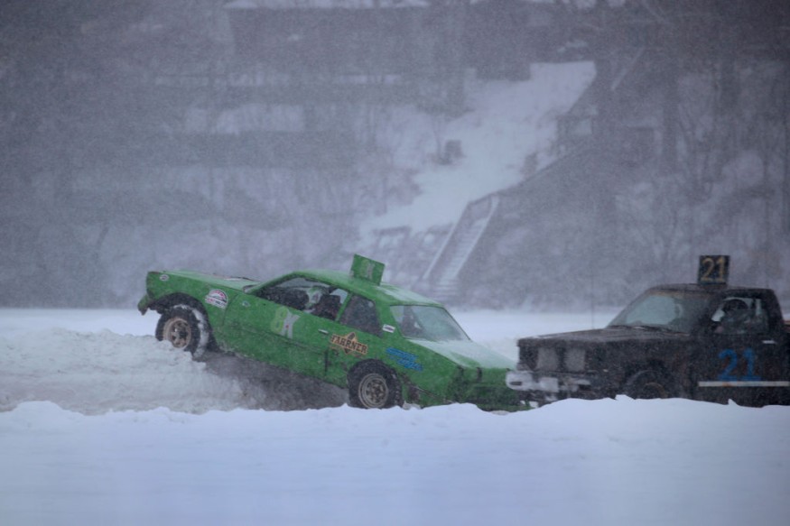
Late this week and early this weekend, significant snowfall is expected to dump substantial accumulations across sections of the Plains and Midwest, and it won't stop there.
AccuWeather analysts warn that it will likely deliver snow and ice throughout areas of the Southeast, even as far south as Atlanta, which hasn't experienced substantial snowfall in nearly four years, posing a risk of disastrous travel conditions.

Meteorologist Matt Benz noted that the storm would be a "Saskatchewan Screamer" rather than an "Alberta clipper." Instead of the more conventional beginning location in Alberta, Canada, the storm is expected to drop almost directly south from the Saskatchewan region of Canada, thus the namesake.
Western Canadian storms move quickly and have a limited amount of moisture available. On the other hand, high-ratio snow can occur when a few tenths of an inch of moisture yields 6-12 inches of snow.
Winter Storm Warnings

Due to the expected severe precipitation, winter storm warnings have been issued for northeastern South Dakota, southern Minnesota, and northwestern Iowa late Thursday night through Friday. Over the following 24 hours, these watches are expected to spread to nearby locations.
Due to another system that will unleash blizzard conditions across Atlantic Canada, a southern dip in the jet stream will play a role in the storm's route. The storm is anticipated to take a more southern course than is customary for this weather system after aiming for the northern Plains Thursday night and Friday. It will travel approximately north-to-south across the Plains and part of the Mississippi Valley from Friday through Saturday.
"If the storm can reach far enough south before turning eastward, there will be a ring of heavy snow that normally spans from the eastern Dakotas and Minnesota down to at least most of Missouri and maybe the Ozarks in Arkansas," Benz said.
Fargo, North Dakota; Sioux Falls, South Dakota; Minneapolis; Des Moines, Iowa; Omaha, Nebraska; St. Louis; and Kansas City, Missouri, will be plowed and shoveled by the snowy eastern and northern edges of the storm by the end of the week. People who live in these cities or want to travel through them should prepare for roadway delays and at airports.
The eastern Dakotas, western Minnesota, and Iowa are likely to receive a blanket of 6-12 inches of snow. The AccuWeather Local StormMaxTM of 15 inches is most likely to occur in this location.
This winter, St. Louis has been in a snow hole. St. Louis has missed out on accumulating snow, except for 0.1 of an inch that fell on Jan. 2. During the winter, the city generally receives approximately 17 inches of snow, and with the approaching storm, it is expected to receive enough to shovel and plow.
Heavy Snow

There will likely be a strong eastern border of the heavy snow across the upper Mississippi River Valley; outside locations forecast to see lake-effect precipitation. Should the storm's center travel across the Dakotas, Chicago, Milwaukee, and Indianapolis may likely see little to no snowfall as a result of this event.
In certain places, a storm track movement of 50 miles or less might determine the difference between a plowable and disruptive snowfall and a nuisance coating.
In the aftermath of the storm, Benz added, "although there may not be a great deal of wind ahead of and after the storm, it will be extremely windy where snow is falling with the system." During the storm, winds might gust up to 40 mph, resulting in blowing and drifting snow as well as impaired visibility.
Drop in Temperature
Temperatures may only drop somewhat over much of the Central states this weekend, rather than a massive push of Arctic air in the wake of the storm. Over the northern Plains and Upper Midwest, high temperatures are expected to be in the teens and 20s on Saturday.
That will pale compared to the frigid air from early this week when temperatures in areas of the northern tier failed to reach zero on Monday morning.
As the storm progresses, it's forecast to deliver a substantial amount of severe precipitation to the southern United States, including snow accumulation and the possibility of a deadly ice storm. Atlanta, for example, is in the line of the storm, and the city may break a nearly four-year drought without snow.
After taking an abrupt turn to the north-northeast along the Eastern Seaboard, the storm will make its last stop in the Northeast.
For more news about the environment , don't forget to follow Nature World News!
© 2026 NatureWorldNews.com All rights reserved. Do not reproduce without permission.


