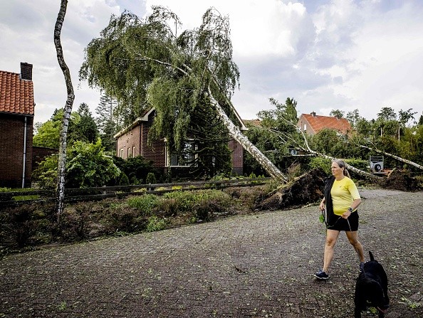
Meteorologists forecasted that thunderstorms capable of packing high winds and flash flooding are to strike regions from the central and northern Plains to the Upper Midwest Wednesday.
Severe Weather
Into early Tuesday night, there will be an eruption of heavy, gusty, and locally intense storms over portions of the northern and central High Plains.
Meteorologists predicted that late Tuesday night to Wednesday morning the remaining complex of these thunderstorms will push eastward into northern portions of Nebraska, eastern portions of South Dakota, and the central parts of Minnesota in the form of intense rain and gusty winds.
While a major occurrence of severe weather is not anticipated on Wednesday, there is a possibility the setup will hit some communities hard with disrupting winds that could bring about power outages from portions of northeastern Nebraska to southeastern Minnesota and central Wisconsin.
Matt Benz, AccuWeather Meteorologist said the joining of a powerful wave of energy at the jet stream level, merged with moisture, which has not been present much of this summer, is anticipated to help in setting off the storms.
Thunderstorm
A little but attentive southward dip in the jet stream is predicted to have an interaction with a frontal zone in just the appropriate way to begin thunderstorms that can develop into one or more large complexes of severe weather from Wednesday afternoon up till Wednesday night.
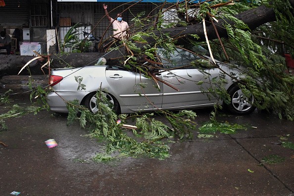
Benz said there is a possibility damaging winds will be the major concern with any strong thunderstorm, and there can also be some isolated flash flooding.
Straight-line wind gusts could get to an AccuWeather Local StormMaxTM of 80 mph.
As it is usual with any severe thunderstorms, there is little chance of an isolated tornado. A few of the more powerful storms may also bring about hail. Benz said even if flooding takes place, a great portion of this region are desperately in need of rain.
Soil Condition
Soil conditions differ to a very great extent over the north-central United States. Some places over the Ohio and Mississippi valleys are regarded to be sufficiently moist, while places over the northern Plains and Upper Midwest are experiencing severe to unusual drought, as per data from the United States Drought Monitor.
In the region, a make or break time for crops, like corn can be the middle of July. An adequate dose of rain in the few days to come can assist in nursing a struggling crop through more than half of the summer.
Chicago and Milwaukee are cities that have been on the northwestern outer edge of showers and thunderstorms and this has created holes in much of the Great Lakes and Ohio Valley since late last week.
There is a greater possibility for Chicago and Milwaukee to experience some heavy, gusty storms Thursday as the cold front part of the storm system moves into the very warm and humid air.
For more news, updates about severe storms and similar topics don't forget to follow Nature World News!
© 2026 NatureWorldNews.com All rights reserved. Do not reproduce without permission.


