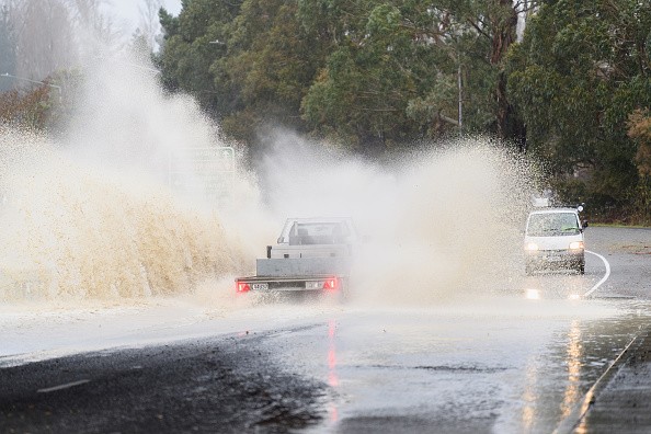
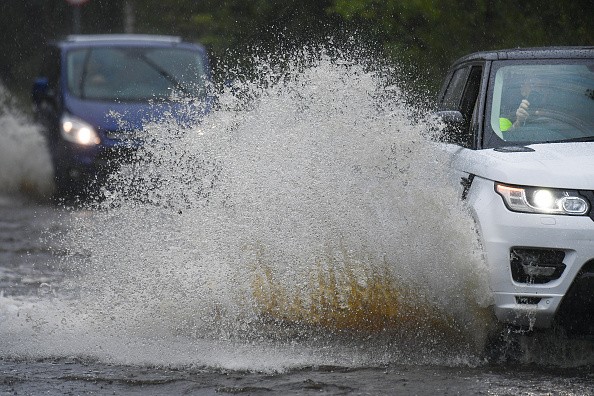
There is a possibility of tropical depression or storm forming in the western Gulf of Mexico, and it doesn't matter how well organized this system becomes, it causes a threat of flooding rain along a part of the northern U.S. Gulf Coast approaching Father's Day weekend.

Invest 92L
This system could also promote coastal flooding, gusty winds, and dangerous rip currents.The National Hurricane Center (NHC) says there is a high possibility of a tropical depression forming in the western Gulf of Mexico by the end of Thursday or Friday, somewhere within the red-shaded area portrayed in the map.
For now, this potential system has been labeled Invest 92L, which is a naming convention NHC uses to track disturbances being monitored for potential development into a tropical depression or storm. Claudette will be the name given to the coming tropical storm that forms in the Atlantic.
Invest 92L is presently a wide area of low pressure in the southwest Gulf of Mexico, or Bay of Campeche, that's making somewhat disorganized showers and thunderstorms. Rainfall in that area could provoke flooding in parts of southern Mexico.
Computer Model Guidance
Computer forecast models have been constantly proposing over the past several days that decreased pressure may become better defined as Invest 92L gets drawn northward through the western Gulf of Mexico later Thursday into Friday.
Two factors that should stop this system from intensifying quickly are wind shear - unfavorable upper-level winds and dry air.
Those factors will also keep majority of the impacts from this system in places near and well to the east of where its center of circulation tracks. The majority of computer model guidance proposes that early this weekend the center of this system will move inland on the western or northern Gulf Coast.

Threat of Flash Flooding
Impacts like higher than average tides, rainfall, and rip currents could appear on the northern Gulf Coast as soon as late this week. Regardless of the specific track or strength of this system, heavy rain along the northern Gulf Coast is expected starting as soon as Friday dispersing into parts of the Deep South this weekend. This includes parts of Louisiana and the lower Mississippi Valley that is already soaked.
The heaviest rain is anticipated from southeast Louisiana into parts of Alabama, Mississippi, and the Florida Panhandle. This is where the threat of flash flooding will be very serious. Some soaking rain is also likely into parts of southwest Louisiana and extreme eastern Texas possibly.
But, based on how far east the system tracks, some of those regions could either pick up some intense rain, or none at all, because of the lopsided nature of this system.
For more news, updates about tropical depression and similar topics don't forget to follow Nature World News!
© 2026 NatureWorldNews.com All rights reserved. Do not reproduce without permission.


