Hurricane Sally strengthened into a category two hurricane on Monday, with about 100 miles offshore but is moving westward. Forecasters say that storm surge and 16 inches of rainfall is expected in the Gulf coast. Alabama, Mississippi, and Louisiana are now on the state of emergency.
There is a possibility that Sally will become a major Category 3 storm with maximum sustained winds of at least 111 mph before its expected landfall on Tuesday afternoon. The Category 2 hurricane will likely affect 17 million people that are on its path.
The center of Sally is forecasted to move near the southeastern Louisiana coast on Monday night; it is expected to make landfall on the Gulf Coast on Tuesday. Strengthening to category three hurricane is also possible, the National Hurricane Center reported. As of early Monday, the storm moved east. Thus Mississippi and Alabama coasts are under hurricane warnings.
Morgan City, Louisiana, eastward into Florida, Okaloosa/Walton County line are also on hurricane warning as weather experts also warn of storm surges and flash flooding.
READ: Arrival of La Niña: Stormier, Colder Winter and Drier, Warmer Weather for Various Regions Worldwide
Expect Torrential Rains, Flooding, and Storm Surges
Heavy rain begins tonight until tomorrow, triggering floods. Thunderstorms will also increase the amount of rain, and forecasters warn of possible isolated tornadoes.
A flood watch has been raised in Mississippi, into the Florida Panhandle and northern Alabama.
Heavy rains, such as 15 to 20 inches are expected in George, Southern Mobile, and Baldwin Counties on Wednesday night. The heavy rains from a slow-moving system will result in the inundation of rivers.
Residents are advised to charge devices now as power outages are likely to happen from increasing wind that is expected tonight through tomorrow.
Everyone is also advised to watch out for storm surges, from four to seven feet on the Alabama coast. Storm surges in NW Florida are expected to be four to seven feet high, while coastal parts of Mississippi are advised to have a seven to 11 feet surge.
Storm surges are expected to be deadly, the National Hurricane Center warned.
READ ALSO: Arrival of La Niña: Stormier, Colder Winter and Drier, Warmer Weather for Various Regions Worldwide
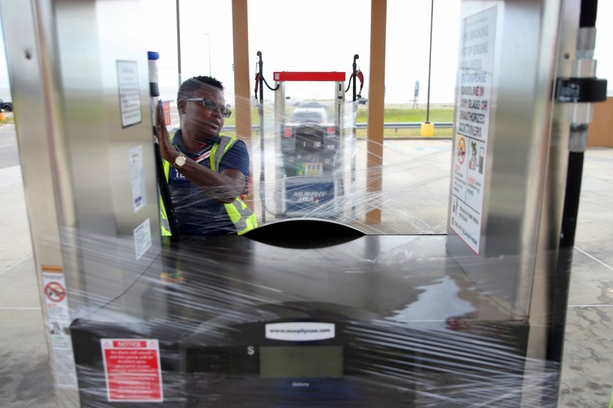
Storm Preparations
Meanwhile, President the emergency declarations for Louisiana and Mississippi were approved by President Donald Trump. The declaration gives the Department of Homeland Security and Federal Emergency Management Agency (FEMA) an authority to aid in the two states' disaster relief activities.
Meanwhile, Gov. Tate Reeves said that Mississippi officials are working towards possible mandatory evacuation.
During a press briefing, the governor said that he fears the impact of the hurricane's heavy rains and storm surge and warned residents of prolonged power outages. Shelters are also open for evacuees.
A resident of Dauphin Island, a barrier isle on the Alabama coast, is preparing for the floods as officials hand out sandbags.
In Alabama, where a state of emergency was declared, Gov.Key Ivey issued an order to close all beaches as of 3 p.m. Monday and urged evacuation, especially for non-resident and are located in low-lying or flood-prone areas.
READ NEXT: Record Low Temperatures with Record September Snow Expected This Week
Check out more news and information on Global Warming on Nature World News.
© 2026 NatureWorldNews.com All rights reserved. Do not reproduce without permission.


