The latest weather forecast shows that scattered snow showers and thunderstorms can occur in parts of Wyoming and Colorado this week, causing potentially slower commutes. A potential hazardous weather outlook is also likely in eastern Utah.
The National Weather Service (NWS) reports that tranquil weather conditions are possible in the Intermountain West. Homeowners can anticipate rain and snow showers, including in the Northwest and the Northern High Plains. The forecast monitors the development of a frontal system, that can likely move east and over the Northern Plains.
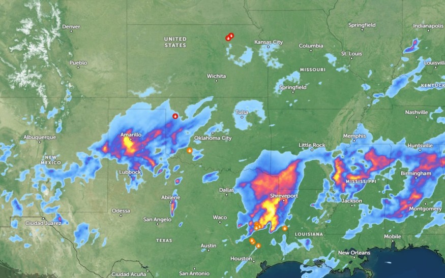
In the Texas Big Bend and Rio Grande Valleys, residents should watch out for potential gusty winds and lower relative humidity, causing threats of critical fire weather.
Weather in Colorado and Wyoming this midweek
According to an NWS weather report, snow showers can occur in the northern Colorado mountains on Wednesday. Motorists should stay alert for minor snow accumulations reaching an inch or two in the region, including in the Park Range.
In central and southeast Colorado, isolated showers and thundershowers can unload. From Monday to early next week, showers can occur, with a chance of light accumulations. From Friday through Sunday, critical fire weather conditions are likely, with a drying and warming trend and increasing west-to-southwest winds.
This weekend, residents should stay alert for warm and dry weather in the region, which can last until early next week. On the other hand, Central and Western Wyoming can anticipate scattered snow showers, particularly in areas in Johnson and Natrona Counties.
Weather in the Northeast and Midwest this Late Week
In the Northeast and Midwest, potential severe thunderstorms can bring torrential downpours, damaging winds, isolated tornadoes, and hail conditions. The main threat is nocturnal tornadoes, and it is best to keep updated with tornado watches and warnings.
On Thursday, stormy conditions are expected, with a chance of severe weather, in the following areas:
- Virginia Beach
- Asheville
- Macon
- Tampa
- New York
- Boston
- Burlington
- Memphis
- St. Louis
- Chicago
- Des Moines
- Minneapolis
- Buffalo
In the late week, the severe weather threat can cause hail, damaging winds, and isolated tornadoes in the following areas:
- Cleveland
- Columbus
- Cincinnati
- Lexington
- Charleston
- Pittsburgh
- Cleveland
In Pittsburgh, residents can expect a weakening storm this midweek. However, isolated showers can form near eastern Ohio and northwest Pennsylvania. People are advised to remain alert for an isolated storm with hail and strong winds.
For Chicago residents, a period of poor weather will occur from late Wednesday until late this week. The forecast warns of heavy rain and river rises, including localized flooding. Gusty winds can reach 30 to 40 mph on Thursday or Friday.
On Thursday night until Friday, beachgoers should watch out for coastal flooding and high tide, with wind gusts up to 50 mph, in Wilmington, Virginia Beach, Portland, New York, Boston, and Atlantic City.
Related Article : Northeast Flooding Forecast: Heavy Rains, Damaging Thunderstorms to Bring Travel Dangers This Week
For more similar stories, don't forget to follow Nature
© 2026 NatureWorldNews.com All rights reserved. Do not reproduce without permission.


