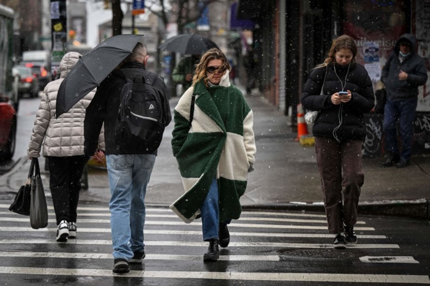
Weather experts said that snow drought could end this winter in the Northeast, including New York and Washington.
They noted that it has been nearly two years since plowable snow has fallen in many major Northeast cities.
Not Having Enough Cold
Officials said that it has already been nearly 700 days since an inch of snow has accumulated and appeared in one calendar day in New York City, Philadelphia, Washington, D.C., or Baltimore.
This dated back to the opening weeks of the year 2022. Meteorologists said that Boston is the exception to the list because at least 1.8 inches of snow fell and was recorded on February 23, 2023.
In November, major cities in the Northeast, like New York City and Philadelphia, have broken records regarding snowfall. Central Park picked up 1.6 inches of snow on February 13, 2022, and this broke the previous streak of 383 days that ended in March 1998.
So far, many cities in the Northeast usually see and experience their first measurable snowfall in November.
According to weather experts, residents in the area have been stuck in the pattern of not having enough cold and not acquiring the right storm track. They pointed out that the condition has resulted in storms that deliver mostly rain to the Interstate 95 corridor while accumulating snow falls farther inland.
Of all the major cities along the Interstate 95 corridor, Boston led the way with 0.2 of an inch of snowfall accumulation so far this winter season.
When it comes to residents staying across other cities, weather experts mentioned that the wintry weather has only been in the form of flurries.
To recall, Baltimore had experienced its least-snowiest winter on record last season when only 0.2 of an inch of snow fell in the area.
Based on weather records, the historical average seasonal snowfall in Baltimore is 21.1 inches, with weather records dating back to as early as the 1890s.
Moreover, a similar story unfolded in Philadelphia where 0.2 of an inch tied the record for the second least-snowiest winter, second only to the winter of the period of 1972 to 1973 when no snow made a show and accumulated throughout the winter season.
Heavier Snowfall
On the other hand, those residents fond of snow across the Interstate could actually see the return of a much heavier snowfall this winter season.
However, they still need to wait a little bit longer before all the ingredients of the snowstorm could come together and form.
Weather experts also said that the chances of snow would rise in some areas across the Northeast during the second half of January and into February.
This phenomenon could be attributed to the El Niño-fueled weather pattern.
The El Niño phenomenon is characterized by the abnormal warming of sea surface temperature in the central and eastern equatorial Pacific Ocean and below normal rainfall.
During the winter months, the El Niño promotes a southern storm track, which, for the East Coast, translates to a higher chance of huge storms coming out of the south with moisture from the Gulf of Mexico.
© 2026 NatureWorldNews.com All rights reserved. Do not reproduce without permission.


