Cyclone Jasper made landfall in northeast Australia as a Category 2 storm on Wednesday, December 13, leaving thousands of people in coastal communities without power and prompting the risk of life-threatening flash flooding.
Jasper was first spotted last week when it was still hovering over the Coral Sea and threatened the weather station on Willis Island that belonged to the Australian Government's Bureau of Meteorology (BOM).
At that time, the Australian weather agency warned that the cyclone would move toward the state of Queensland this week. Now that the powerful cyclone has reached the Queensland coast, Australian weather authorities have warned that the greatest threats posed by the storm are damaging winds of up to 113 kilometers per hour (70 miles per hour) and flash flooding.
In recent years, similar weather hazards led to casualties and widespread damage in Australia, including in Queensland and New South Wales.
Cyclone Jasper Makes Landfall
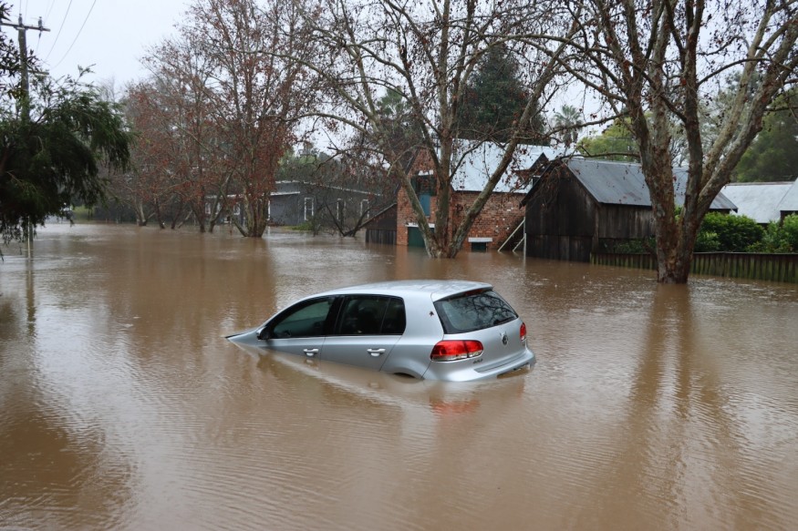
Cyclone Jasper made landfall and struck northeast Queensland at around 5:00 p.m. local time on Wednesday, according to Australian government meteorologists, who warned that heavy rain could lead to flash flooding in some areas. In addition to strong winds, rough surf conditions or dangerous marine conditions also serve as a threat along the Queensland coast, as was reported in the seaside town of Palm Cove.
In a media post of BOM, Australia on the X platform, formerly called Twitter, the meteorologists say that Tropical Cyclone Jasper is expected to cross the far north Queensland coast later on Wednesday. In addition, the BOM also issued major warnings as residents in far north Queensland were on high alert on Wednesday morning when Jasper intensified off the state's coast.
Severe Weather Update 13 December 2023: Tropical Cyclone Jasper expected to cross the Far North Queensland coast later today.
— Bureau of Meteorology, Australia (@BOM_au) December 13, 2023
Video current as of 11am AEST 13 December 2023.
TC advice is being updated every hour. Details: https://t.co/4KFWWiaPgB pic.twitter.com/jmLhM0zf80
Cyclone Jasper Weather Hazards
Reports say that Cyclone Jasper uprooted vegetation destroyed Palm Cove's coastal promenade, coconut palms, and melaleuca trees due to the cyclone's strong gusty winds. On Wednesday afternoon, BOM Meteorologist Miriam Bradbury forecasted that heavy rainfall is expected over the new few hours, meaning that the threat of flooding rain could continue during the evening.
Weather updates from the tropical cyclone shows that it produces sustained winds of 95 kilometers per hour near its center, with wind gusts reaching up to 130 kilometers per hour. Gusts are even expected to reach 140 kilometers per hour.
Furthermore, local authorities received 128 calls for assistance, in relation to the Australia storm, between Tuesday afternoon, December 12, and Wednesday noon.
Australia is currently in its tropical cyclone season, which spans from November 1 to April 30 each year. However, storms can also occur before or after this period. During the 2021-2022 Australian region cyclone season, the country experienced its most active season on record, where 25 tropical lows and 20 tropical cyclones occurred.
Among these storms, Tropical Cyclone Ila was the strongest one during the season, with maximum winds reaching 280 kilometers per hour.
© 2026 NatureWorldNews.com All rights reserved. Do not reproduce without permission.


