The National Weather Service (NWS) warned of potential mountain snow and excessive rainfall in the Northwestern US this week. Moderate to severe flooding can be likely, especially in low-lying areas.
In Seattle, residents are reminded to prepare for flooding due to river flooding in Western Washington. The challenging weather can cause travel concerns and slower commutes, including in parts of the Ohio Valley and the Great Lakes.
NWS Weather Forecast This Week: What Can People Expect?
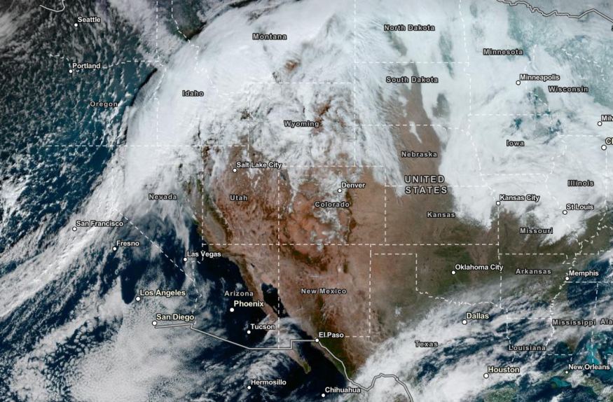
In the latest advisory, the NWS Weather Prediction Center warned of the excessive rainfall in the Pacific Northwest this week. The snowmelt can result in significant river flooding exacerbated by heavy rains.
In addition, the Alberta Clipper System will help unleash a snowy outlook in the Lower Great Lakes, Central Appalachians and Ohio Valley this midweek.
The forecast warned of a subfreezing outlook in the Northwest. In the high-elevation areas, residents can anticipate heavy snow. People should stay alert for winter weather alerts or advisories in the area.
In the New England and Great Lakes, the forecast added that lake-effect snow can be likely in the midweek. Meanwhile, rounds of rain can unload in Washington, Western Oregon and Northern Idaho.
On Wednesday, the weather conditions will likely improve. However, motorists should stay alert for slippery roads and other travel dangers.
Weather in the East: Freezing Rain and Snow
In the East, the latest forecast warned of more snow and rain. The freezing outlook can result in widespread travel disruption and localized power outages.
The challenging weather could unfold on the weekend in the region. On Saturday, the severe thunderstorms can bring hail and flooding downpours. Homeowners should watch out for damaging winds that can put down trees and power lines.
Severe thunderstorms are expected in Memphis, Jackson, Houston and Little Rock. The challenging weather can impact parts of Memphis, Arkansas, Louisiana and Mississippi.
Meanwhile, colder weather outlook will occur in the following areas:
- Fargo
- Kansas City
- Oklahoma City
- Des Moines
- Denver
- Chicago
In other parts of the US, the stormy outlook can spread from Burlington, Boston, Washington, Atlanta, New York and Jacksonville. The heavy rain can lead to landslides and flash flood risk, especially in flood-prone areas.
In the East, homeowners should check for strong winds and chilly weather. Hypothermia and frostbite can be the risk, especially for older adults and people without a heating system.
For more similar stories, don't forget to follow Nature World News
© 2026 NatureWorldNews.com All rights reserved. Do not reproduce without permission.


