The latest weather forecast reported that snow and colder conditions will unload from Washington to Dakotas due to the arrival of arctic chill.
Residents can anticipate heavy snowfall in the said areas.
In the final days of October, it is expected that more snow will unload in the US. The colder outlook shows early signs of the winter season, especially in the Northwestern US.
A wintery mix is possible over the central to southern Plains on Sunday in the wake of a cold front. Further East, excessive rainfall may bring a potential for flash and urban flooding over parts of the southern Plains into the mid-Mississippi Valley Sunday.… pic.twitter.com/q2ZzAriY5H
— National Weather Service (@NWS) October 27, 2023
The significant snow will bring a major temperature cooldown. In Colorado and Wyoming, residents are under the winter advisories and threat of foggy conditions.
US Weather Forecast: Where Will Colder Conditions Unload This Week?
In this week's weather from Washington to North Dakotas, the potential weather dangers are slippery roads, cold-related health concerns, heavy snow and strong winds.
The patchy nature of #fog can lower visibility quickly and unexpectedly—slow down and stay alert! https://t.co/ShWoO0BhP3 #WeatherReady pic.twitter.com/dDPLN6w2TM
— National Weather Service (@NWS) October 26, 2023
Homeowners with travel plans should observe winter safety due to the blast of the colder air.
According to the latest forecasts, the Arctic chill will spread over the areas in Regina, Bismarck and Calgary. The chilly weather will happen in Seattle, Spokane, Boise and Portland.
In addition, the National Weather Service (NWS) is monitoring the development of a winter storm in the North-Central and Northwestern US.
On Friday, the heavy snow could unload in Central and Northeastern North Dakota, including Northern Plains.
Residents can experience 20 to 30 degrees below normal temperatures in portions of Northern High Plains and Northern Plains. The forecast warned residents of prolonged exposure to the colder weather, including hypothermia and frostbite.
The overnight lows can be possible, especially on the weekend. In addition, the patchy fog can cause a decrease in road visibility.
Motorists should drive slowly and check the road conditions before traveling.
In the Washington and Oregon Cascades, there is a chance of snow reaching from six to 12 inches in the late week. Homeowners can experience winter-like temperatures this week, especially in Idaho, North Dakota and Montana.
In the late week, the chance of snowfall could unfold in the following areas:
- Winnipeg
- Fargo
- Bismarck
- Rapid City
- Helena
- Calgary
- Boise
- Prince George
- Seattle
- Portland
- Medford
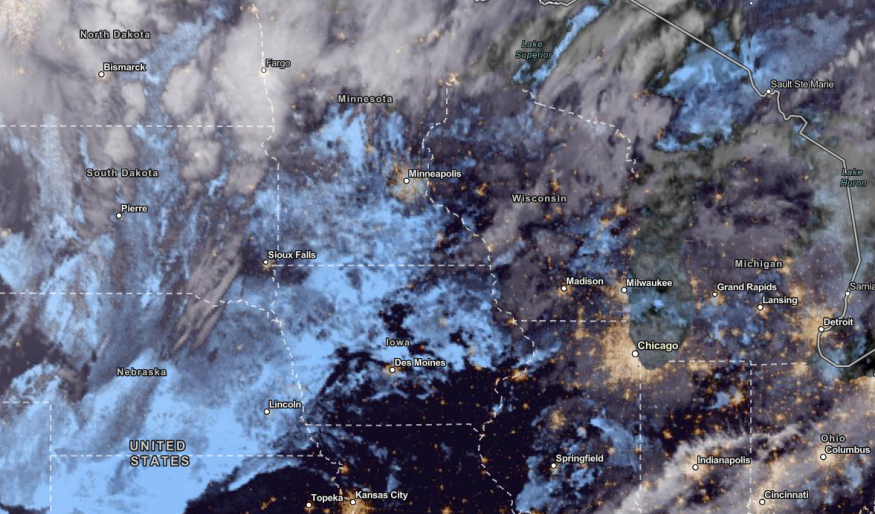
On Friday, the cold will expand in Minneapolis, Omaha, Des Moines, Sioux Falls, Rapid City, Salt Lake City, Scottsbluff and Boise.
On the weekend, the cooler weather could stay in Seattle, Portland and San Francisco.
Also Read: Thunderstorms, Excessive Rainfall to Hit Southern Plains, Upper Great Lakes in US This Late Week
Weather in the Southern Plains
In the NWS weather forecast, Central to Southern Plains can experience wintery mix conditions due to a cold front.
Recently, NWN reported that excessive rainfall and thunderstorms could unload in the Southern Plains, Midwest and Upper Great Lakes.
On the weekend, rounds of rain can unload in Chicago, Kansas City and Dallas City. In Kansas City, the advisory warned of a hard freeze this weekend. The cold will likely remain next week.
The colder to freezing conditions can bring significant health risks. As a result, homeowners should keep updated with the weather.
Stay updated with the latest forecast in Nature World News in November.
Related Article: Foggy Conditions, Colder Temperatures to Hit Colorado; Winter Advisories Present in Wyoming
For more similar stories, don't forget to follow Nature World News.
© 2026 NatureWorldNews.com All rights reserved. Do not reproduce without permission.


