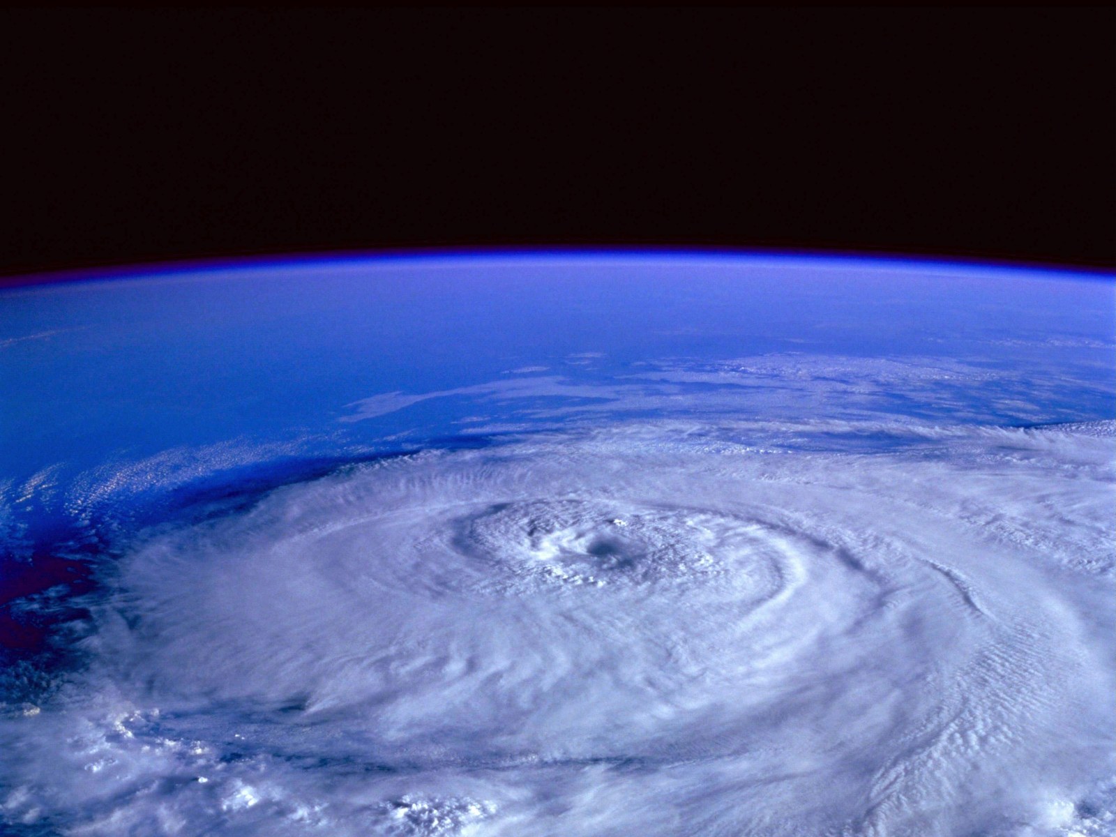
The Northern Mariana Islands and Guam were hit by a powerful typhoon earlier this week that quickly intensified, covering the islands in torrential rain and strong winds.
According to the most recent Typhoon Bolaven Forecast, weather in the US will soon feel the effects of this storm.
Typhoon Bolaven Forecast
On Saturday, Bolaven developed into a tropical storm a few hundred miles southeast of Guam.
Bolaven quickly grew on Wednesday night into a powerful typhoon with top sustained winds of nearly 130 mph.
Winds equivalent to a tropical storm blasted across the islands.
As Bolaven went through the area on Tuesday and Tuesday night, Saipan Island, which is a part of the Northern Mariana Islands, recorded a high wind gust of 68 mph.
At Guam International Airport, wind gusts of 46 mph were recorded on Tuesday as Typhoon Bolaven's center passed the island at a distance of around 50 miles to the northeast.
Category 5 Super Typhoon Bolaven, the strongest storm on Earth, is nearing tropical cyclone perfection.
— Colin McCarthy (@US_Stormwatch) October 11, 2023
The storm has a near perfect circular eye surrounded by deep convection.
The storm currently has 180 mph (290 km/h) sustained winds with gusts to 220 mph (354 km/h), but… pic.twitter.com/RByHEaq4DZ
Agana, Guam, reported rainfall that started from Monday evening through Tuesday evening and totaled about 4 inches.
Nearby places, such as the Guam International Airport, recorded more than 2.13 inches on just Tuesday.
From Tuesday evening to Wednesday morning local time, Bolaven experienced a period of rapid intensification during which the winds accelerated by 70 mph in a single day.
A tropical storm is said to have rapidly intensified if its maximum sustained winds increase by at least 35 mph in less than 24 hours.
Rapid Intensity, Violent Typhoon
Typhoon Bolaven's lowest pressure and strongest wind measurements are comparable to those of Typhoon Mawar, the most recent significant West Pacific typhoon to hit Guam and the Northern Mariana Islands.
That storm, which hit in May and had maximum sustained winds of 130-156 mph, was comparable to a Category 4 hurricane.
The center of Typhoon Mawar tracked directly between Guam and Rota Island, part of the Marianas, bringing peak winds of 149 mph across the islands during the last week of May.
After Typhoon Mawar hit the area, nearly the entire island territory of Guam was without power, with less than 2% of customers having access to electricity at one point, according to the Guam Power Authority.
Also Read : 3°C Rise in Temperature From Human-Induced Climate Change Will Make Central US Uninhabitable
Alaska To West Coast US
Bolaven's long-term trajectory has AccuWeather meteorologists afraid that the storm might potentially cause issues late next week across the Gulf of Alaska.
According to Paul Pastelok, AccuWeather's Lead Long-Range Forecaster, Bolaven in the western Pacific may recurve, weaken, and then quickly develop when it approaches the Gulf of Alaska early to mid-next week.
The storm's effects in Alaska may eventually spread to the United States West Coast, changing the region's weather patterns.
According to Pastelok, this could be a significant storm with strong gusts and significant rainfall near Alaska's southern shore.
Seas will rise in this area and may affect the US West Coast.
In the highlands of western Canada and Alaska's southeast, snowfall will be measured in feet.
Read also: Annular Solar Eclipse 2023: 5 Weird Facts About the Rare 'Ring of Fire' Eclipse Coming This Week
© 2026 NatureWorldNews.com All rights reserved. Do not reproduce without permission.


