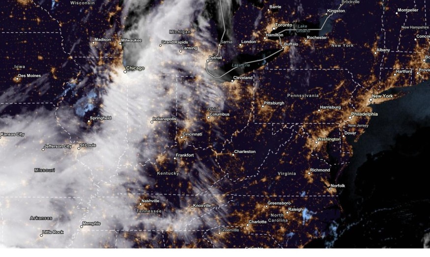
The latest weather forecast showed that heavy rain conditions could trigger potential flooding and flash flood risks in the Northeast.
People can also anticipate the cooler conditions and chances of snow in the Northeast due to a cold front. The region can experience the much-awaited relief from extreme heat.
Americans should stay updated with the weather in the Northeast due to the flooding and rainfall.
Northeastern US Weather: What can people expect this week?
According to the National Weather Service (NWS), a cold front can bring cooler temperatures to the Northeast. However, residents should watch out for the threats of severe weather conditions on Thursday.
High temperatures remain above normal for Thursday before returning to near normal for Friday and Saturday. Below normal temperatures then follow for Sunday through at least the middle of next week. pic.twitter.com/WPqP8JYZKJ
— NWS New York NY (@NWSNewYorkNY) October 5, 2023
The low system can also help unleash challenging weather conditions in the region and the New England this weekend.
Motorists should check for flooded roads before leaving their houses.
On Saturday, rainy conditions are likely in the following areas in the Northeastern US.
- Burlington
- Portland
- Boston
- Buffalo
The rain can be beneficial for dry and drought-stricken areas.The arrival of the fall weather is expected to unfold cooler conditions this October, with chances of early snow and freezing outlook.
Starting Thursday, people can notice the chilly conditions due to the cold front. Major weather cooldowns can occur in the following areas:
- Boston
- Buffalo
- Pittsburgh
- Charleston
- Nashville
- Atlanta
- Memphis
- St. Louis
- Chicago
- Green Bay
- Kansas City
Those who want to enjoy the summer's last-minute should watch out for heavy rain in Long Island and New England.
Furthermore, the flash flood risk can unload from Western Pennsylvania to Central New Connecticut and New York State on Saturday.
Regarding snow chances, it could likely unfold in high-elevation areas in Southern Ontario and the Adirondack Mountains of northeastern New York state. The snow can give the early taste of winter.
In New York City, the latest advisory showed that near-normal temperatures are possible on Friday. On Sunday until early next week, New Yorkers can feel below-normal temperatures.
On Friday night, the cooler pattern can unfold in Montreal, Toronto, Buffalo, Pittsburgh, Detroit, Columbus and Chicago. The chilly pattern with 10 to 20 below historical averages can spread in Burlington, New York, Washington and Virginia Beach on Sunday.
The rainy conditions can spread into the Great Plains and Mid-Atlantic states.
Thunderstorm dangers in the Southern Plains and Lower Mississippi Valley
The NWS warned of developing thunderstorms in the Southern Plains, Lower Mississippi Valley, North-Central Texas and Southwest Arkansas this late week.
People are advised to stay alert for possible isolated tornadoes, large hail, severe wind gusts and flood threats.
Furthermore, the intense rainfall can bring travel dangers in North-Central Texas and Southeast Oklahoma.
In the Northern Plains, residents can expect the fall-like temperatures on Thursday, relieving challenging heat.
Related Article : US Thunderstorm Forecast: Heavy Rain, Severe Weather to Hit Dallas, Kansas City, Great Plains
For more similar stories, don't forget to follow Nature World News.
© 2026 NatureWorldNews.com All rights reserved. Do not reproduce without permission.


