According to the latest weather report, severe conditions are expected in Kansas City, Great Plains and Dallas this midweek.
People with expected travel should monitor the weather, especially in the affected areas. Flooded roads and scattered thunderstorms can bring potential flash flood risks and weather threats.
In the South-Central US, the latest forecast warned of isolated tornadoes despite the region's cooler air. The relief from the heat could unleash potential flood dangers from excessive rain.
US Thunderstorm Forecast: Where will it impact?
According to the National Weather Service (NWS) advisory, the thunderstorm dangers can also reach parts of Upper Midwest.
However, the challenging to intense thunderstorms can unleash in South-Central Nebraska and Western-Central Kansas.
The upper-level and atmospheric instability can bring severe weather risks in the Southern Plains and Lower Mississippi Valley, including in West Texas and Atmospheric instability.
People should also watch out for the threats of isolated tornadoes, large hail and challenging wind gusts. On Wednesday, the heavy rainfall could unload due to developing storms.
Slight risks of excessive rainfall can hit on Wednesday in the following areas:
- Southwest Missouri
- Central and Western Arkansas
- Northeast Texas and North-Central Texas
- Southeast Oklahoma
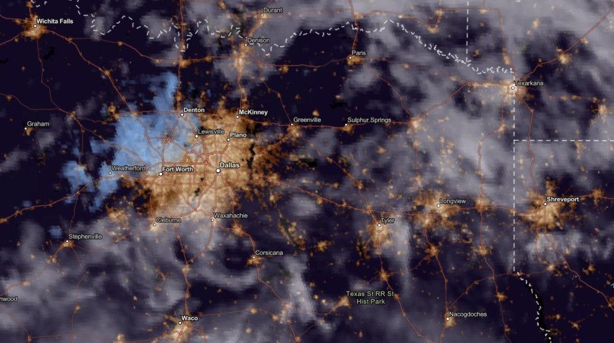
In Dallas, the latest weather forecast warned of dangerous flash flood risks and flooding. Communities in low-lying and flooded areas can be at risk of weather dangers this week.
Furthermore, the rainy conditions in Dallas and parts of Southeast midweek can bring relief from the dry and drought conditions.
Southeast US and Central US have experienced prolonged drought due to massive heat dome and warm temperatures.
In New Orleans, the advisory noted the area's severe weather. Residents should watch out for signs of weather watch and warning.
Meanwhile, in Southwestern Texas, a severe thunderstorm watch is present in the area.
Starting Wednesday, locally severe storms and localized flash flooding can unload in the following areas:
- Little Rock
- Dallas
- Houston
- San Antonio
- Odessa
- Lubbock
- Amarillo
- Wichita
The rainy outlook can help cool the weather in the affected areas.
Staying safe from severe thunderstorms and weather outlook
The latest weather reports warned of deadly thunderstorms and potential flash flood risks in the US, especially in parts of Dallas, Kansas City and the Great Plains.
The severe weather risks can cause travel dangers and flooding concerns.
Here are essential severe weather safety reminders for Americans.
- Homeowners should remain at home when the weather worsens. Flooded roads and reduced road visibility can happen due to excessive rainfall.
- Thunderstorms can be deadly, and people should avoid open areas, power lines and bodies of water. When thunder roars, it is best to stay at home.
- Homeowners should anticipate possible power outages due to severe weather risks and damaging winds.
Related Article : US Weather Forecast: Severe Storms To Hit New Mexico, West Texas This Week; Unusual Warmth to Stay in Central US
For more similar stories, don't forget to follow Nature World News.
© 2026 NatureWorldNews.com All rights reserved. Do not reproduce without permission.


