The National Weather Service (NWS) reported that a slow-moving upper low can unleash challenging weather conditions in parts of Ohio Valley, Southern New England and the Lower Great Lakes.
Motorists with travel plans should check the latest forecast in the affected areas. The rainy outlook can cause potential slower commutes and travel disruptions.
Heavy rain conditions: Where will it impact in the US?
Based on the weather's advisory until September 30, a slow-moving mid to upper low can bring rainy conditions this late week.
The NWS warned that it could unleash severe thunderstorms, damaging winds and hail.
The challenging weather conditions can impact Southern New England, Western Atlantic and coastal Mid-Atlantic on Thursday or Friday.
Moderate to heavy rainfall outlook can occur in Ohio Valley and Lower Great Lakes.
Homeowners should also stay alert for possible flooding and flash flood risks due to the heavy precipitation this week, especially for people with outdoor plans.
In addition, bringing an umbrella is recommended due to the high chance of rain.
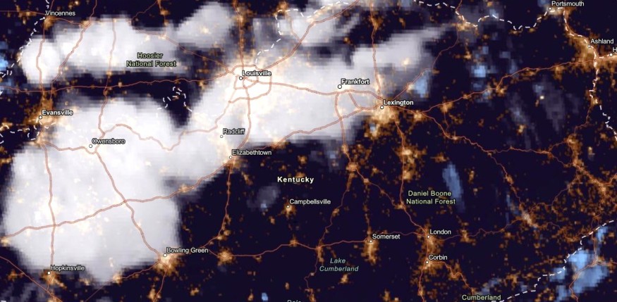
In West Central Kentucky, isolated flash flood risks can be possible. The rain can help ease the dry conditions in the region.
Weather in the Pacific Northwest
The low-pressure and strong front in the Northwest can bring a wet weather pattern in the region on Thursday.
Rainy outlook can unload in parts of Northwestern US and Northern California.
In addition, residents can anticipate possible below-average temperatures in the Pacific Northwest, Northern Rockies, Oregon and Washington State.
The beneficial rain can relieve the prolonged drought in the region, particularly in parts of Oregon.
Homeowners should watch out for small urban flooding in low-lying and flood-prone areas in the Pacific Northwest.
Also Read : Dry Conditions, Summer-Like Temperatures to Unfold in Northern New England, Rockies, Plains This Week
Weather outlook in other parts of the US
In parts of Colorado, the hazardous weather outlook said that dry conditions are expected in the region. Residents can expect scattered rain showers and thunderstorms from the weekend until early next week.
Meanwhile, critical fire weather conditions can threaten parts of Colorado. The warm conditions, low humidity and gusty winds can fuel potential fire concerns.
Residents should watch out for Fire Weather Watch.
In Western Utah, possible thunderstorms can develop on the weekend. However, fire threats can also occur in the region this week.
Keeping safe from thunderstorm threats
The main concern is the development of severe thunderstorms with challenging winds. Homeowners monitor the latest forecast this week, especially in fire-prone areas in Colorado and Utah.
Lightning strikes can cause potential fire threats. Homeowners are advised to observe fire safety to prevent bushfires. Staying at home is recommended this weekend to avoid possible weather dangers.
Motorists should check for potential flooded roads this week due to the heavy rain outlook in the Southern New England and Ohio Valley.
Related Article : Snow Potential: Cooler Weather Likely in Parts of the Northwest in First Week of October
For more similar stories, don't forget to follow Nature World News
© 2026 NatureWorldNews.com All rights reserved. Do not reproduce without permission.


