The latest weather forecast showed a cold storm system would bring cooler temperatures to the Northwestern US this week.
In early September, the Northwestern US experienced average to above-average heat. The unusually cooler air will feel like winter season. Temperature shifts can help ease the heat and enjoy outdoor activities.
In addition, the Pacific Northwest can also experience cooler air on Wednesday, including in the Intermountain West and Southwest on Thursday.
Northwestern US: Unusual cold and cooler temperatures this week
In the West, residents can expect a temperature drop up to 10 to 20 degrees below. The early taste of winter and snowfall is one of Americans' most awaited weather events.
If you're a fan of cooler temperatures, you'll be ✨falling✨ for this forecast.🍂
— NWS Salt Lake City (@NWSSaltLakeCity) September 17, 2023
Confidence is continuing to increase that a fall-like storm system arrives later this week. Stay tuned for more details. #utwx #wywx pic.twitter.com/eGiHqec0yR
According to the latest forecast, the temperature drop can become noticeable in the mid-week in the following areas:
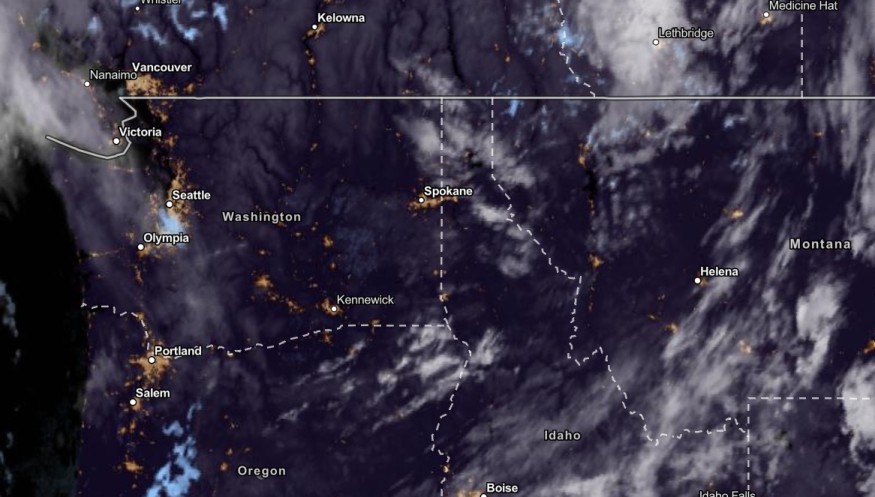
- Seattle
- Spokane
- Helena
- Boise
- Salt Lake City
- Medford
- Redding
- Western Washington
- East Oregon
In addition, there could be chances of snow in the Sierra Nevada, Cascades, Borah Peak and Northern Rockies.
The forecast noted that light snow conditions are likely in portions of the Elkhorn Mountains and Wallowa Mountains.
The cooler temperatures are ideal for outdoor activities, with a break from the scorching heat.
However, motorists should watch out for possible slippery commutes and reduced visibility due to potential snow in the said areas.
In addition, NWS Medford reported that freezing morning temperatures could be likely in parts of East Cascades starting Wednesday.
In Seattle, the advisory explained cooling temperatures in the region until this week.
Meanwhile, in Salt Lake City, precipitation could likely increase starting Monday. Heavy rain could unload on Tuesday, with possible high-elevation snow.
Also Read : US Weather Forecast: High Temperatures Likely in Central US; Northeast to Expect More Rain
Florida Peninsula: Wet Weather Conditions likely this week
On the other hand, Southern Plains and Florida Peninsula can experience a wet weather outlook on Wednesday. The forecast warned of heavy rainfall and potential flash flooding this week.
The arrival of an upper-level shortwave in the Southern Plains on Tuesday could help intensify the thunderstorms in the area. With locally heavy rainfall, Texas and Oklahoma will likely have a severe weather outlook this week.
Residents with travel plans should check for flooded road conditions in Central and South Florida due to the severe weather outlook this week.
Motorists should keep away from floodwaters, which could rapidly rise.
Flash flooding is also a concern this week due to heavy rainfall. Homeowners should watch out for landslides and mudslides. Low-lying areas with poor drainage systems are at risk of severe flooding.
Meanwhile, forecasters are monitoring the developments of Hurricane Nigel, which became the 5th hurricane of the 2023 season.
According to recent reports, Hurricane Nigel managed to strengthen with 80 mph sustained winds. The storm was located over the Bermuda waters.
Related Article : US Weather Forecast: Heavy Rain to Hit New England, Arizona, Central Wyoming, Colorado Early Week
For more similar stories, don't forget to follow Nature World News.
© 2026 NatureWorldNews.com All rights reserved. Do not reproduce without permission.


