Heavy rain and chances of thunderstorms are possible in New England, Wyoming, Colorado, Utah and Arizona, according to the latest forecasts.
Motorists with travel plans should monitor the latest forecasts in the early week. Stormy conditions could likely bring slower commutes and travel disruptions.
The National Weather Service (NWS) monitored the developments of scattered thunderstorms and rainy outlook in the said areas.
In the Northwest and Northern Plains, residents can experience cooler temperatures reaching the Lower 48.
Weather forecast in Colorado
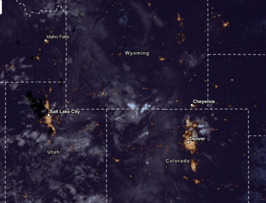
As of the September 17 advisory, isolated thunderstorms and showers were possible in the North and Northeast Colorado from Monday through Saturday.
The mountainous areas in Colorado could experience most of the rain.
Gusty winds could accompany the rainfall. In addition, the advisory warned of the lightning this week from the thunderstorms.
Motorists should limit outdoor travel when the weather worsens this week.
Weather in Northeast to Southeast Utah and Arizona
According to the latest forecast, Central to Southeast Utah could experience challenging rain and thunderstorms. Small hail conditions could also likely be in the early week.
In Arizona, residents could anticipate cooler conditions in the early week due to isolated showers and thunderstorms. The relief can benefit people at risk of hot weather conditions.
Weather in Wyoming
In the early week, the NWS is monitoring the possible elevated to near-critical weather outlook. The fire could become the main concern because of the humidity and strong winds in the region, especially in South Central and Southeast Wyoming.
The fire risks are likely in the following areas:
- Natrona
- Sweetwater
- Fremont Counties
The fire risks could be low from Wednesday through Friday due to cooler weather and rain showers.
Scattered storms are likely in the region on Monday in Kansas and Missouri.
Weather in the New England
Hurricane Lee brought severe weather conditions to New England and the Northeast. This week, a coastal storm could cause possible flooding, heavy rain and flash flood risks.
On Monday, heavy rain conditions are likely in the following areas:
- Boston
- New York
- Boston
- Portland
- Bangor
- Washington
- Burlington
- Buffalo
- Pittsburgh
- Detroit
- Columbus
- Charleston
- Virginia Beach
The rainy outlook in New England could be a concern in New England. Because of the rain, cooler conditions are likely in the region.
Low-lying and flood-prone areas are at risk of flooding. It is best to check the floodwaters and stay away from it regularly.
Keeping safe from isolated thunderstorms and heavy rain
The latest weather report highlighted the scattered thunderstorms and rain in the affected area. Staying updated with the weather is essential to keep safe from severe outlook.
Although relief from rain is on the way next month, homeowners should prepare for possible hurricanes and tropical storms.
In addition, keeping emergency kits at home is recommended.
For more similar stories, don't forget to follow Nature World News.
© 2026 NatureWorldNews.com All rights reserved. Do not reproduce without permission.


