The latest weather forecast said that thunderstorms and widespread showers are likely to hit Utah, Colorado and Wyoming this week, bringing possible flash flooding and travel safety concerns.
People with travel plans are advised to check the latest forecasts in the affected areas, as slower commutes and travel disruptions could be possible due to the hazardous weather outlook.
In the Northeast and Southern Plains, excessive rainfall and thunderstorms could be noticeable until the end of the work week. The rainy outlook is due to the developing storm and strong cold front.
Weather in Wyoming: Fire threat and isolated thunderstorms
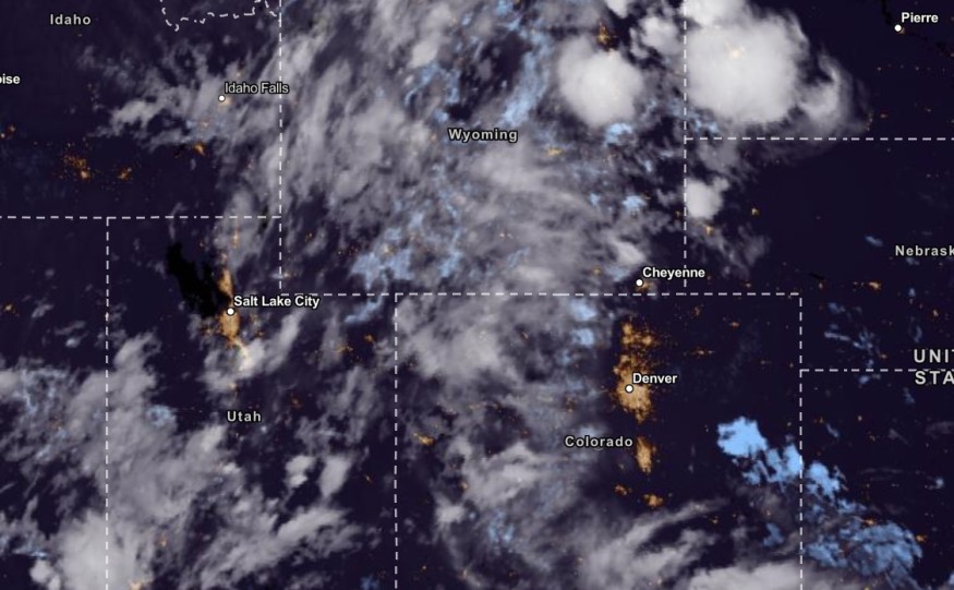
As of September 13, the National Weather Service issued a hazardous weather outlook in parts of Wyoming, Colorado and Utah.
People living in the said areas are advised to check the weather regularly and always bring an umbrella.
In Central and Western Wyoming, isolated thunderstorms and rain showers are possible this week. Gusty winds are forecast to reach 40 mph. On Thursday morning, the rain is expected to continue.
Meanwhile, higher areas in Wyoming could experience possible snowfall.
Residents could expect a potential fire threat on the coming weekend and until early next week due to the dry and warm conditions.
Weather in Colorado: Stormy conditions and heavy rain
In South Central and Southeast Colorado, heavy rain and thunderstorms will become noticeable from Wednesday until late week. Challenging weather conditions could be possible in higher terrain or mountainous areas.
The gust winds could also reach about 40 mph. On Friday, Southeast Plains could experience stormy conditions and locally heavy rainfall.
At the end of the week, up to four inches of snowfall could be likely. In the Northeast and North Central Colorado, dry conditions and flash flood threats could unload on Friday.
Also Read: Cooler Air To Hit Southern Plains, Bringing Relief From the Heat
Weather in parts of Utah
Ccattered showers are expected in parts of Utah on Thursday. Heavy rain could be likely on Friday with chances of thunderstorms.
On the other hand, dangerous surf conditions are also expected in parts of New England, the East Coast and Puerto Rico.
Staying safe during the rainy conditions
The cloudy and rainy conditions in the Wyoming, Utah and Colorado could unload at the end of the week. The challenging weather could put at risks people near mountainous or flood-prone areas.
Hurricane #Lee may cause dangerous surf, high tide, and rip currents in New England coastal areas this week.
— Readygov (@Readygov) September 13, 2023
Check advisories & water conditions before you go to the beach.
Learn more about rip currents: https://t.co/BtK2Ctt1oJ pic.twitter.com/Ida2iLrA8u
The developing thunderstorms could play a role in the emergence of heavy rainfall in the said regions this week. Heavy rain could bring flash flooding, landslides and flooding concerns.
Here are essential safety reminders to motorists this week
- Monitor the latest forecasts in Utah, Wyoming and Colorado. Having a battery-powered radio is helpful when power outages happen.
- It is best to stay at home. Outdoor activities could put you at risk of flooded roads and thunderstorms.
- Immediately evacuate when flood dangers occur or when officials announce.
Related Article : US Cold Front Forecast: 'Winter Air Mass' to Bring Snow, Rainfall, Sub-Freezing Temperatures Later This Week [NWS]
For more similar stories, don't forget to follow Nature World News.
© 2026 NatureWorldNews.com All rights reserved. Do not reproduce without permission.


