Meteorologists warned that Hurricane Lee is expected to hit Nova Scotia with powerful winds and torrential rains.
This weather is expected to risk lives as well as damage properties in the area. Still, experts have not discounted the possibility of Lee battering Atlantic Canada.
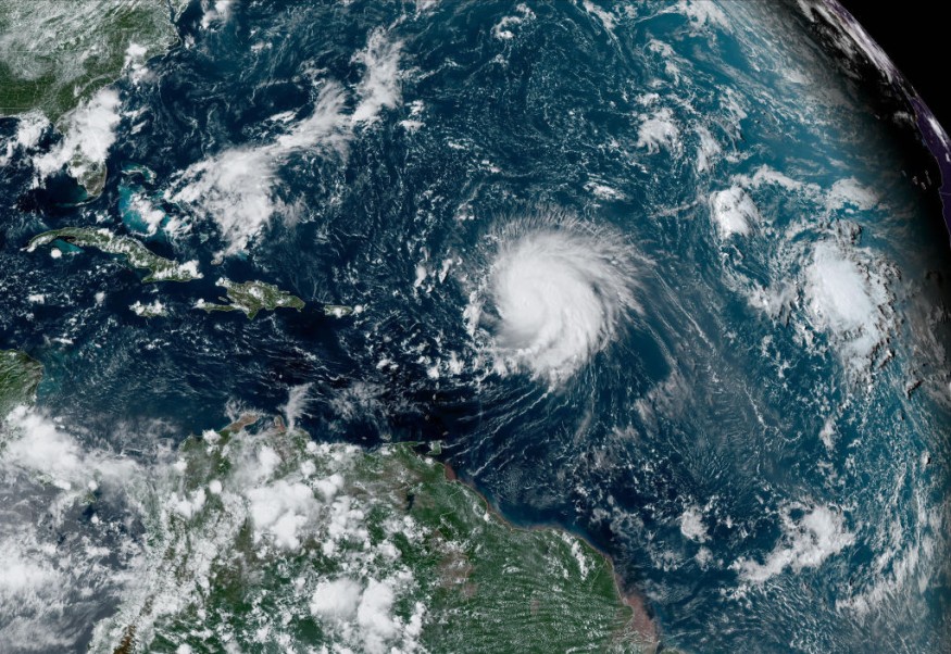
Lee's track
According to the National Hurricane Center and Central Pacific Hurricane Center, it was at 800 PM AST (0000 UTC) when the center of Hurricane Lee was located near latitude 25.0 North, longitude 66.5 West.
Lee is tracking the direction towards the northwest near 7 mph (11 km/h). The weather disturbance is forecasted to turn toward the north on Thursday and increase in forward speed.
Meanwhile, maximum sustained winds are near 115 mph (185 km/h) with higher gusts.
So far, weather experts said that Lee is a category 3 hurricane based on the Saffir-Simpson Hurricane Wind Scale.
They said that some slow weakening has been forecasted during the next 48 hours, though the wind field will remain large.
Still, meteorologists categorized Lee as a very large hurricane as hurricane-force winds extend outward up to 125 miles (205 km) from the center and tropical-storm-force winds extend outward up to 240 miles (390 km).
Meanwhile, the Saildrone 1036, which is located about 70 miles (115 km) northwest of Lee's center, recently reported a wind gust of 92 mph (148 km/h).
The estimated minimum central pressure is measured at 946 mb (27.94 inches).
Aside from the developments of Lee, meteorologists also see that tropical storm force winds are possible on the Bermuda starting early Thursday.
As Lee passes through the west of Bermuda from Friday to Saturday, impacts on the islands will be less than 1 based on meteorologists' hurricane scale.
Under the Accuweather's Real Impact Scale, less than 1 is a score for tropical systems that did not rise to the "Category 1" status on the Saffir-Simpson scale.
It can cause limited damage from winds and rains, with coastal inundation resulting in some property damage.
Tropical-storm-force sustained winds are possible along with some heavy rain and dangerous surfs. The outer rain bands from Lee may produce rainfall amounts of one to two inches, 25 to 50 millimeters, across Bermuda Thursday into early Friday.
Meteorologists warned that with a high level of construction codes on Bermuda, most of the problems will stem from disruptions to travel as well as with the daily activities.
When it comes to surfs, swells generated by Lee are affecting portions of the Lesser Antilles, the British and US Virgin Islands, Puerto Rico, Hispaniola, the Turks and Caicos Islands, the Bahamas, and Bermuda.
Weather experts continue to warn that these swells are likely to cause life-threatening surf and rip current conditions. At present, risky surf and rip currents are already affecting portions of the southeastern US coast.
These rip conditions are forecasted to spread northward along much of the US East Coast and Atlantic Canada during the next couple of days.
New England
Experts said that the severity of conditions from eastern New England to Nova Scotia and the island of Newfoundland in terms of wind, rain, and coastal problems caused by Lee would still depend on the exact track and strength of the hurricane late this week and in the coming weekend.
They see that Lee will move over cooler waters of the North Atlantic late this week.
However, this weekend, Lee will lose some wind intensity prior to its expected landfall.
Related Article : Hurricane Lee at Category 3: New England, Atlantic Canada Brace for Damaging Winds
Related Video:
© 2026 NatureWorldNews.com All rights reserved. Do not reproduce without permission.


