A strong weather system is threatening Texas and other areas across the South U.S. with heavy rain and severe storms, according to the National Weather Service (NWS).
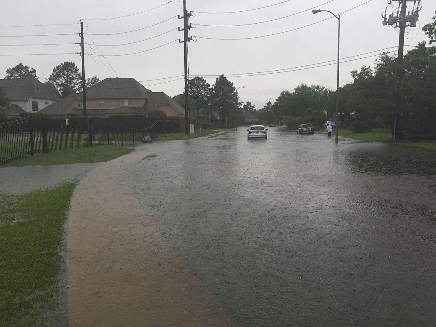
Flash flooding due to torrential rain is possible for the affected areas.
Meanwhile, very large hail, isolated tornadoes, and damaging winds due to severe storms are expected, the NWS added.
The weather service warns localized heavy rain is forecasted around the Arkansas-Louisiana-Texas (Ark-La-Tex) region.
Meanwhile, Texas will experience the said weather hazards brought by the severe weather.
Power outages, road traffic, public transport disruption, and cancelled or delayed flights are likely in the coming days.
Furthermore, the U.S. weather agency said isolated to scattered storms with severe hail and gusty winds are also possible as far as Florida.
On the other hand, heavy snow has continued in the central Great Plains.
The stormy weather forecast comes after meteorologists reported the return of cold weather in different parts of the country, including the Pacific Northwest and the East Coast.
U.S. Weather Forecast
The NWS' Weather Prediction Center (WPC) on Tuesday, April 25, issued the latest U.S. weather forecast with a short-range forecast valid from Wednesday to Friday, April 26 to April 28.
In its forecast, the WPC says heavy rainfall, isolated floodwaters, and severe weather are possible across parts of the central-southern Plains and Lower Mississippi VValley
In addition, the development of heavy wet snow is expected over the Colorado Rockies and the Fort Range.
The weather service also issued a forecast of below-average temperatures for most parts of the country, specifically to the east of the Rockies, while the West will remain to have above-average temperatures.
Strong Weather System
The NWS describes a low-pressure system that will spread showers and thunderstorms across the central-southern Plains starting Tuesday, wherein severe thunderstorms with pockets of heavy rainfall may occur from the Colorado Front Range to the Ark-La-Tex region.
In a new report, the severe weather threat has continued on Wednesday, April 26, primarily bringing strong to severe supercell storms across areas west of North Texas, where large hail being the main threat posed by the storm, CBS News reported.
Severe Weather Threat
According to USA Today, more than 4 million people in Texas were under a severe weather threat advisory on Tuesday, and Colorado received a winter storm warning.
In previous related weather events, severe thunderstorms have often spawned tornadoes.
The renewed adverse weather comes almost a week after tornadoes killed at least two people when the storms barreled through Oklahoma.
The victims were reported dead by the state's McClain County.
This also occurred amid several people injured and trapped inside their homes, Reuters reported.
Over the past month since the start of spring on March 20, related tornadic storm events have been reported across the central and southern parts of the nation.
© 2026 NatureWorldNews.com All rights reserved. Do not reproduce without permission.


