The final week of February is expected to unload severe thunderstorms, isolated tornadoes, large hail and flooding rainfall in parts of the South.
Motorists and residents should stay updated with the weather as the challenging weather could cause possible power outages and travel delays.
Last week, the National Weather Prediction Center reported troublesome winter storms in the Northeast, Upper Midwest and Southern California.
The significant storms unloaded heavy snow and freezing, resulting in power outages and health concerns.
Isolated tornadoes and large hair in the South
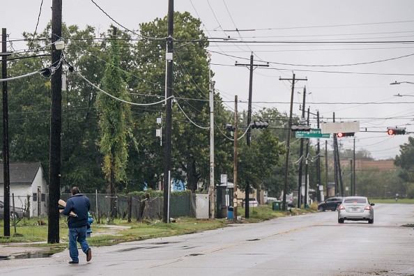
Houston, Texas. Big Warmup Rebound to Unfold in Southeast, Mid-Atlantic This Week as Spring Season Comes Nearby Brandon Bell/Getty Images
As March comes, the weather could still become problematic for Americans in the South.
The situation could become dangerous, especially the isolated tornadoes.
According to AccuWeather's latest forecast, the weather agency said severe thunderstorms would unfold this weekend, causing damaging wind gusts and potential tornadoes.
Residents in Oklahoma City, Dallas, Little Rock, Springfield and Kansas City should expect severe weather conditions.
On Sunday, severe thunderstorms with rain would unload in Dallas, Little Rock, Wichita and Oklahoma City
There is also a chance of snow in Santa Fe.
The damaging wind gusts from the storms could cause possible dust storms and blow away powerlines and trees.
Residents in the affected areas should stay alert for tornado watches and warnings, especially in parts of north-central Texas.
Meanwhile, the National Weather Service (NWS) recent advisory reported that widespread damaging winds would unload in parts of Oklahoma.
In addition, tornado watches are present in Southern Kansas, Western Oklahoma and the OK/TX Panhandle.
The forecasts warned of possible derecho.
According to the NWS, it is a long-lived thunderstorm, with a wind damage swath reaching up to 240 miles.
On the other hand, AccuWeather reported that severe thunderstorms would be noticeable on Monday until Monday evening.
Residents warned of local flash flooding and damaging wind gusts reaching from 60 to 70 mph.
Possible areas at risk are Indianapolis, St. Louis, Louisville and Columbus.
On the same day, the weather forecasts emphasized that the storm would cause slick roads and travel disruptions.
Snow and ice are possible in Minneapolis and Toronto.
Rain and possible thunderstorms would unload in Nashville, Charleston, Cleveland and Philadelphia.
Tornado and severe thunderstorms safety tips
The latest weather forecasts highlighted that the storms could result in road delays.
Meanwhile, the isolated tornadoes could become life-threatening, especially at night.
The American Red Cross emphasized the importance of staying safe during tornado outbreaks.
Here are essential tips for homeowners.
Keep updated with the weather conditions. Residents and motorists should observe the weather before leaving their homes, especially for tornado watches and warnings.
Families should prepare an emergency tornado kit. Tornado outbreaks could cause power outages and inaccessible roads.
The tornado emergency kit should include the following: battery-powered radio, batteries, power banks, non-perishable goods and bottled water.