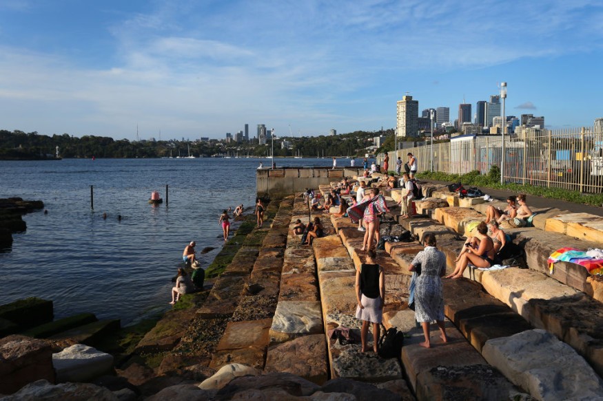
Australia weather will see the persistence of heavy rain and severe weather in the northern region, according to Australian weather authorities. Fire weather will also engulf the western and southern regions. The adverse weather comes after ex-Tropical Cyclone Ellie passed through the country, the second storm of the season, where it formed in less than a week after Tropical Cyclone Darian.
Flash flooding and riverine flooding is possible due to rain showers, while strong winds cannot be ruled out due to thunderstorms. Floodwaters are more likely to rise in low-lying areas and those near bodies of water. Power outages are also expected should power lines be damaged or destroyed by the mentioned weather hazards.
Australia National Weather Update

In its national weather update, the Bureau of Meteorology (BoM) on Wednesday, January 11, warned that rain showers and thunderstorms in northern Australia, as well as heat wave conditions will continue for most parts of western and southern Australia in the coming days and until the weekend.
The update says downpours and thunderstorms in the Northern Territory and Queensland are spreading due to the remnant moisture left behind by former Tropical Cyclone Ellie, which combines with 'surface troughs' to generate moderate to heavy rainfalls.
Flood Alerts and Warnings
The BoM issued flood alerts pertaining to the continuance of major flooding along parts of the Fitzroy River in Western Australia, where several communities are impacted in upstream areas, including at the Fitzroy Crossing. Meanwhile, minor to moderate flood warnings is in effect for the states of Northern Territory Queensland, and Western Australia.
A flood watch is also in place for western Queensland, since the center of rainfall will be in northern and central Queensland, according to the Australian weather agency. However, rain showers can also occur in the Northern Territory and Kimberley.
The agency also warned heavy localized rainfall may lead to flash flooding and riverine flooding or the overflow of lakes, streams, and rivers.
Madden-Julian Oscillation
For the past several weeks since late December 2022, an active monsoon gave birth to Tropical Cyclone Ellie over the waters off the west coast of Northern Territory. Ellie battered the state during the said period in line with a burst of the Madden-Julian Oscillation (MJO). Although the pulse has now shifted east, the remnants of Ellie still affects mainland Australia, according to the website Severe Weather Europe.
MJO is a lesser-known phenomenon which can bring significant impacts in places located in the mid-latitudes of the planet, according to the National Oceanic and Atmospheric Administration (NOAA).
MJO is a strong contributor to various extreme events in the United States, including Arctic air outbreaks during the winter months from December to February in the central and eastern parts of the US, the NOAA says.
The phenomenon could also be causing the extreme heat in the western and southern parts of Australia, which was mentioned earlier by the BoM, such as South Australia, Victoria, Tasmania, and even New South Wales.
© 2026 NatureWorldNews.com All rights reserved. Do not reproduce without permission.


