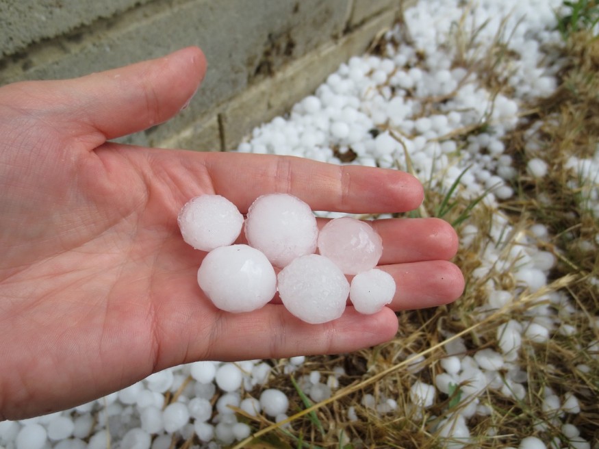
Along with damaging winds, large hail, and flash floods, the South US could experience severe weather the following week.
By Tuesday, an active storm system will move across the middle of the country, where it will draw more moisture from the Gulf of Mexico.
The storm's powerful upper-level winds and warm, moist air will combine to produce a volatile atmosphere that will encourage the development of multiple thunderstorms that may bring on severe weather.
Brief Forecast By Day
Large hail, damaging straight-line winds, and tornadoes are all possible threats. The severity of those threats is still a little hazy since it is still a few days away.
According to the NOAA Storm Prediction Center, the general outlook below shows the areas with the greatest likelihood of experiencing severe weather on Tuesday and Wednesday:
- Severe weather will move through southeastern Oklahoma and eastern Texas into Louisiana, Arkansas, Mississippi, and southwestern Tennessee from Tuesday morning to Tuesday night.
- Severe weather will move through southeast Louisiana by Wednesday night and into southern Alabama, southern Mississippi, and the western Florida Panhandle.
- Keep in mind that as the precise timing becomes more certain, the placement of these threat areas may change over the next few days.
- From Tuesday through Thursday, there may be a greater chance of flash floods in much of the South due to the heavy rain.
According to AccuWeather, a segment of the I-10 and 20 corridors farther east in the South may still be under the threat of severe weather on Wednesday. Since rain has been falling more frequently over a large portion of the south-central region in recent weeks, drought conditions have improved and the soil has become steadily wetter.
Historic December Severe Weather
Even though tornadoes may be far fetched for the month, severe weather can still happen well into the winter.
When excessive Gulf of Mexico heat and humidity swarm over the South and the intensified cool season jet stream blows before winter storms, outbreaks frequently happen in the winter. Although these severe weather outbreaks are much more frequent from Florida to Texas, they can also threaten parts of the Midwest during hot spells.
Last December served as an extreme case, as two outbreaks contributed to shattering the tornado record for the month. More than double the previous recorded count of 99 tornadoes in December 2002, there were 232 twisters confirmed.
The worst outbreak of tornadoes occurred on December 10-11 and produced 66 tornadoes, including two long-track EF4 tornadoes that swept through western Tennessee and Kentucky from Missouri's Bootheel and northeastern Arkansas. In various locations across five states, more than 80 people died and hundreds were injured, The Weather Channel reports.
Weather Warnings
According to the National Weather Service, the following States in South US have weather warnings, watches, and advisories in effect:
- Arkansas - Issued December 9, a Flood Warning will be in effect until further notice.
- Tennessee - Issued December 9, a Flood Warning is in effect until December 12.
- Florida - Issued December 9, a Flood Warning will be in effect until further notice. Three Rip Current Statements are also in effect over parts of Florida. Two will expire on the 12th, and one on the 13th.
Related article : Storms to Bring Tornadoes, Blizzard Conditions and Widespread Thunderstorms to Portions of US Next Week
© 2026 NatureWorldNews.com All rights reserved. Do not reproduce without permission.


