The remnants of Typhoon Merbok is being forecasted to be Alaska's strongest storm in over a decade.
Recently hovering over the Pacific Ocean, meteorologists said the former typhoon has moved toward the Bering Sea and to the Alaskan coast.
The greatest risk from the looming storm is flooding of coastal areas due to a storm surge as waves are driven by powerful winds.
Alaska's Strongest Storm
The National Weather Office (NWS) in Fairbanks on Thursday, September 15, posted on Twitter that "a very significant storm" is expected to hit western Alaska from Friday to Sunday, September 16 to September 18.
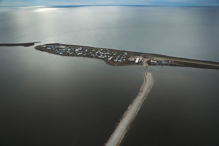
⚠️ A very significant storm is anticipated for western Alaska Friday into Sunday. Prepare for significant coastal flooding (potentially the highest values in over a decade) and strong winds.
— NWS Fairbanks (@NWSFairbanks) September 14, 2022
Visit https://t.co/wWyHaEriQB for the latest information. pic.twitter.com/9Az2iOVWBn
In the tweet, the NWS warned the public to prepare for coastal flooding or coastal erosions and strong winds, highlighting it could potentially be the strongest storm in Alaska for over a decade.
The weather hazards could start as early as Friday evening.
The US weather agency also noted that major concerns involve potential flooding on critical infrastructure, including several roads such as the Nome-Council Road.
In addition, wind gusts could reach as high as 75 miles per hour and damage power lines, leading to possible power outages or power shortages.
Typhoon Merbok
The looming threat is because of the remnants of Typhoon Merbok as it starts to move toward the southern Bering Sea on Thursday night, September 15, before it becomes the anticipated most impactful storm in the state since 2011.
NWS Fairbanks Meteorologist Jonathan Chriest said the system could be a powerful one with a potential impact likely challenging the catastrophe from the so-called "Bering Sea Superstorm" back in 2011, as cited by CNN.
Chriest told CNN that Merbok is the first storm since 2011 that they have high confidence in terms of comparing it to the 2011 storm.
This week's approaching threat is reportedly expected to reach a magnitude unlike anything seen before in the month of September.
The 2011 Alaska superstorm is also referred to as the "November 2011 Bering Sea Cyclone," the most powerful extratropical cyclone to impact the state in recorded history.
Potential Disruption
The NWS meteorologist placed emphasis on Nome-Council Road, which runs along the coast of Alaska.
With this, the route has a high chance of being washed out, putting risk for hundreds of hunters in the mountains since the hunting season started in September.
Aside from strong winds, heavy rain and inland flooding is also possible for communities near the coast of Alaska.
Landslides or avalanches may also occur due to runoff on mountains.
Coastal Flood Warning
NWS Fairbanks also issued a coastal flood warning, mainly along the coast from the Bering Strait to Hooper Bay, as cited by the KTOO Public Media.
The warning shows that sea levels could rise between 3-8 feet above the average high tide line along the Bering Strait coast, affecting multiple areas near the following:
- Nome
- Golovin
- Elim to Koyuk
- Shaktoolik to Stebbins
- St. Michael to Hooper Bay
The agency indicates that Merbok is a major storm and the likelihood of coastal flooding is high.
© 2026 NatureWorldNews.com All rights reserved. Do not reproduce without permission.


