Severe weather with isolated tornadoes are expected to hit the Northeastern United States from Friday, August 26, putting over 30 million Americans at risk, according to US meteorologists.
Other weather hazards posed by the looming thunderstorms include large hail, strong winds, and flash flooding due to heavy rain.
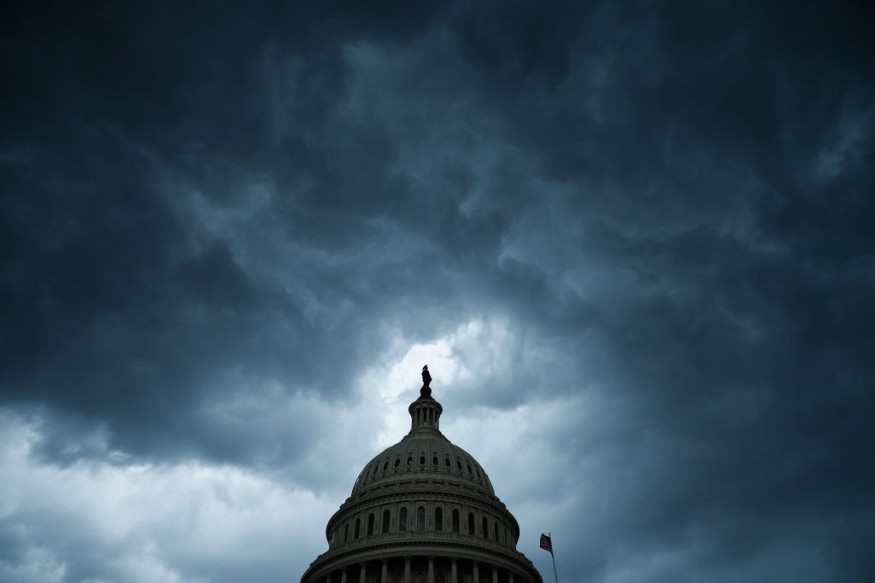
There is a likelihood of infrastructural damage and travel disruption in the coming hours.
The severe storms will reportedly batter a vast area in the region, likely between Maine to parts of Pennsylvania, New York, and New Jersey. Major urban areas like Burlington, Portland, Syracuse, Manchester, Boston, Scranton, and New York City are forecasted to be impacted by the severe thunderstorms.
All surrounding and adjacent areas are also at risk.
The National Weather Service (NWS) on Thursday, August 25, a low pressure wave over the Great Lakes is moving eastward into the Northeast by Friday and will traverse further the Northeast Coast by Saturday, August 27.
During this period, the system will produce rainfall and thunderstorms from the Great Lakes and Ohio Valley regions overnight from Thursday to Friday.
The system will also be responsible for bringing the potential inclement weather over the Northeast, as it will cause an atmospheric disruption in the region, according to the NWS.
Northeast Storm Alert
AccuWeather Senior Meteorologist Brett Anderson said that a thunderstorm outbreak will occur across the Northeast on Friday afternoon; since a front is separating warm and humid air to the east from a slightly cooler and less humid to the west.
Anderson adds the first area to be struck by the weather event will be from southern New England to New Jersey, all the way to the eastern half of Pennsylvania.
Based on the AccuWeather's severe thunderstorm or severe t-storms forecast, the Northeast could experience the following weather hazards from Friday afternoon to evening:
- downpours
- hail
- isolated tornadoes
- damaging wind gusts of 50-60 miles per hour
Severe Weather Warning
Prior to the wet and stormy weather, a warm, humid air will be in place since it would provide the instability the storms needed to develop, Fox Weather reported.
The FOX Forecast Center indicated that the main threat of the severe weather will be damaging wind gusts.
However, the occurrence of large hail, as well as one or two tornadoes are also possible, especially in areas between Albany, Hartford, Manchester, and Burlington.
The NWS' Weather Prediction Center (WPC) mentions that the Storm Prediction Center (SPC) issued a "Slight Risk" of severe thunderstorms over the Northeast from Friday to Saturday morning.
Both US weather agencies highlighted that frequent lightning could be another hazard of the approaching adverse weather event.
In other parts of the US, the NWS highlighted that an upper-level low over the Pacific Northwest will support the production of showers and thunderstorms, affecting northern Idaho and northwestern Montana, as well as southeast Montana, northeast Wyoming, and South Dakota until Friday.
© 2026 NatureWorldNews.com All rights reserved. Do not reproduce without permission.


