A multi-weather hazard forecast shows that heat, flooding, and thunderstorm, as well as fire weather conditions will strike a vast portion of the United States from mid-week. US weather authorities issued a short-range outlook of the looming natural weather hazards, which potentially could cause disruptive and life-threatening risks.
In the coming days, the outlook by the National Weather Service (NWS) shows the continuance of dangerous heat across the Central US and it will expand into the Northeast as the week progresses. Meanwhile, flash flooding and severe thunderstorms is expected from lower Michigan to the middle Mississippi Valley.
Furthermore, critical fire weather conditions will prevail across the Interior Northwest all the way into Montana. Fire weather in the region spiked as the country goes through its summer season, which started in June and is expected to last in September this year.
In the past several weeks, the overall weather in the US has been marked by fluctuating and mixture of high temperatures, rainfall, and severe storms.
During this period, flooding due to heavy rain killed multiple in Kentucky since last week. In addition, a major wildfire killed at least four people in Northern California in recent days. Approximately 40 people went missing and were later found during the Virginia flooding last month.
Multi-Weather Forecast
The Weather Prediction Center (WPC) of the NWS, in its short range forecast discussion, outlined the ongoing and upcoming weather hazards from Wednesday to Friday, August 3 to August 5.
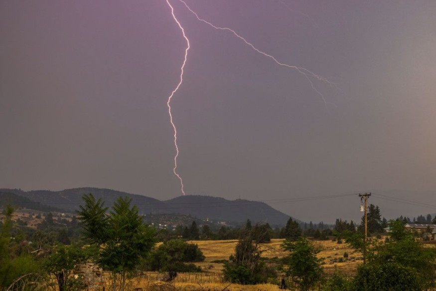
The weather prediction was issued at 03:24 a.m. EDT (local time) on Wednesday, highlighting that the so-called monsoonal rain will continue to inundate the Southwest US and that potential severe thunderstorms will across the Great Lakes or the Midwest in the next few days.
Moreover, hot temperatures are anticipated throughout the Mid-Atlantic and Northeast regions on Thursday, August 4. The scorching heat that could reach over 100 degrees Fahrenheit is likely connected to the fire weather threat form the Northwest into the northern High plains, connected by a massive heat wave.
Also Read : Weather Forecast: National Weather Service Says Severe Thunderstorms are Possible Across the Central US
Dangerous Heat
The NWS states the heat wave persists over the Central US. This is caused by a strong upper level ridge build up, sinking air and resulting in sunny skies.
With this, the US weather agency said heat advisories are in place from central Texas to the southern Great Lakes.
The New York Times reported that only the Southwest US and Alaska are spared from the ongoing heat wave across the country in the coming weeks, as cited from the monthly outlook of the WPC.
Flash Flooding and Fire Weather
Localized flooding due to 1-3 inch rainfall is possible from Missouri to Michigan ahead of a cold front. This comes as a "corridor of organized showers and storms" can develop from the later hours of Wednesday and into Wednesday.
In addition, fire weather conditions from gusty winds and low humidity will increase the risk of wildfires in the region. Amongst these fires include the ongoing and unstoppable McKinney Fire, which has engulfed a total land area of 56, 459 acres in Siskiyou Country, California, according to Cal Fire.
© 2026 NatureWorldNews.com All rights reserved. Do not reproduce without permission.


