According to AccuWeather meteorologists, the Northwest of the United States will see yet another heat wave. In addition to the possibility of temperatures approaching levels from late last month, the soaring heat and the generally dry environment might result in a considerable increase in wildfire activity.
Getting Hotter
AccuWeather Long-Range Meteorologist Alex DaSilva warned that a heat wave expected for the Northwest next week "may rival temperatures experienced in certain regions from late July."
It is anticipated that temperatures will increase from 5 to 10 degrees above average early next week to 10 to 18 degrees above average by the middle of the week.
In the Northwest, several daily record high temperatures for mid-August range from the mid-90s to the low 100s, which can be unreachable. There will be some records that could fall, though. In Seattle and Portland, August 18 records of 88 and 99 are still in existence today.
DaSilva said this summer's highs may be challenging to surpass but are still quite likely because the sun is not as powerful as it was two weeks ago. On the other side, compared to July, the earth is now drier and more receptive to sunlight. There is a possibility for upward mobility with high temperatures for the area next week, depending on the intensity of high pressure at the lower and higher sections of the atmosphere.
For a few days next week, DaSilva predicted widespread highs of 100 or higher from east of the Cascades to the lower western slopes of the Rockies.
Also Read : Some US Cities May Become
Read also: Hotter than the Middle East Before 2100
Record Breaking Heat
Seattle recorded 95 degrees on the Pacific coast on the three days from July 29 to July 31. The high temperature broke the previous record on the month's final day. Forecasters predict that Seattle's highs will likely rise from the lower 80s early the following week to the 90s or perhaps higher late that week.
Before the late July heat wave, much of Washington, along with portions of Oregon and Idaho, were experiencing average to rainy weather, which at the time reduced wildfire activity. But in some places, that heat wave continued for eight days or more without any rain. According to experts, the region's grassy fields and bushes have been significantly dried up by the hot, dry conditions, increasing the risk of wildfires there.
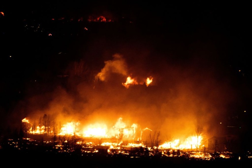
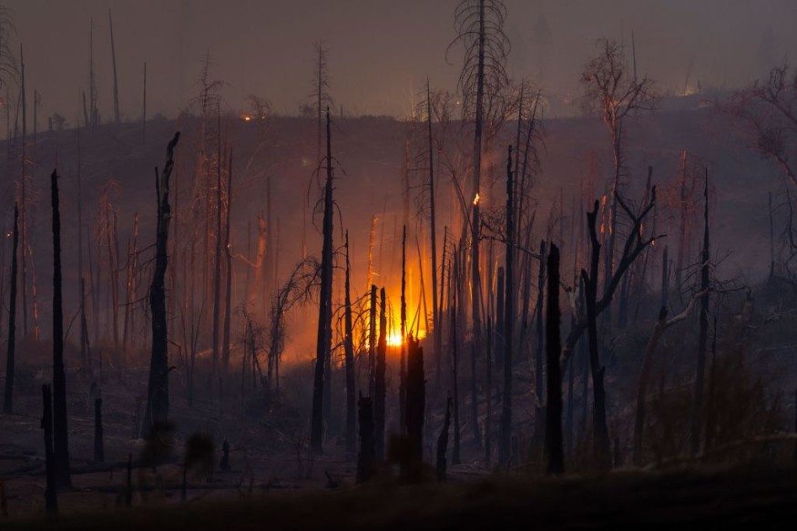
Increased Risk of Wildfires
Over the past few weeks, there has been an increase in wildfire activity in the area. The Moose Fire, the largest fire in the area, was in central Idaho and had burned more than 77,000 acres as of Saturday morning. It was just over 27% containment.
The general danger of wildfires will increase due to the new heat wave's dry weather and locally strong winds, according to DaSilva.
A jet stream disturbance moving northeastward next week could contribute to the rising wildfire risk. Because of the kink in the jet stream, meteorologists predict that enough moisture from the Pacific and the southwest United States might produce thunderstorms in some locations with little to no rain.
The storms' lightning strikes might potentially start new flames. Later, in the next week, the chance of lightning storms will be greatest in parts of Oregon, Northern California, and central and southern Idaho. The disturbance's related clouds may also moderate the excessive heat in certain areas.
For more environmental news, don't forget to follow Nature World News!
© 2026 NatureWorldNews.com All rights reserved. Do not reproduce without permission.


