Severe thunderstorms are on its way into the Northeast by passing through the Ohio Valley into Upstate New York, causing potential tornadoes, damaging winds, and large hail, according to the National Weather Service (NWS).
The occurrence of heavy rain flooding is possible in the coming hours and days.
The NWS weather forecast also mentioned excessive heat in the Central Mississippi Valley and southern Arizona that is expected to spread from the Northern Great Plains to the Southeast.
The intense heat poses life-threatening risks for both animals and humans, as well as power lines.
The forecast comes after a major flooding due to heavy rainfall and rapid snowmelt submerged the Yellowstone National Park early this week and forced the State of Montana to declare a state of emergency.
Furthermore, it follows the Kansas heat wave responsible for killing thousands of fat cattle.
Lastly, severe storms recently caused widespread power outages across the Midwest, leaving over 600,000 customers without power supply over recent days.
NWS Weather Forecast
The NWS' Weather Prediction Center (WPC) in College Park, Maryland, on Thursday, June 16, hints of an extreme weather that could envelop the Eastern United States.
The forecast will be valid from Friday to Sunday, June 17 to June 19. However, it still is subject to change, revisions, or extension.
The weather advisory predicts a "dangerous heat and humidity" that will persist across large areas in the Southeast from Friday.
Meanwhile, "severe thunderstorms and excessive rainfall" will threaten some parts of the East Coast and the Midwest until the morning of Saturday, June 18.
The WPC also forecasts of "early season monsoonal thunderstorms" over some parts of the central and southern areas of the Rockies and Southwest until Saturday.
Storm System
The US weather agency's short-range weather outlook stated that a storm system moving from the Lower Great Lakes to the Southern High Plains is causing the said severe weather in route to the Northeast.
With this, the NWS' Storm Prediction Center (SPC) issued a "Slight Risk" for severe thunderstorms for the following areas, affecting approximately over 26 million Americans:
- Baltimore, Maryland
- Washington, DC
- Kansas City, Missouri
- Omaha, Nebraska
- St. Louis, Missouri
In addition, the SPC also provided a "Marginal Risk" for the following locations:
- New York City, New York
- Philadelphia, Pennsylvania
- Indianapolis, Indiana
- Columbus, Ohio
- Charlotte, North Carolina
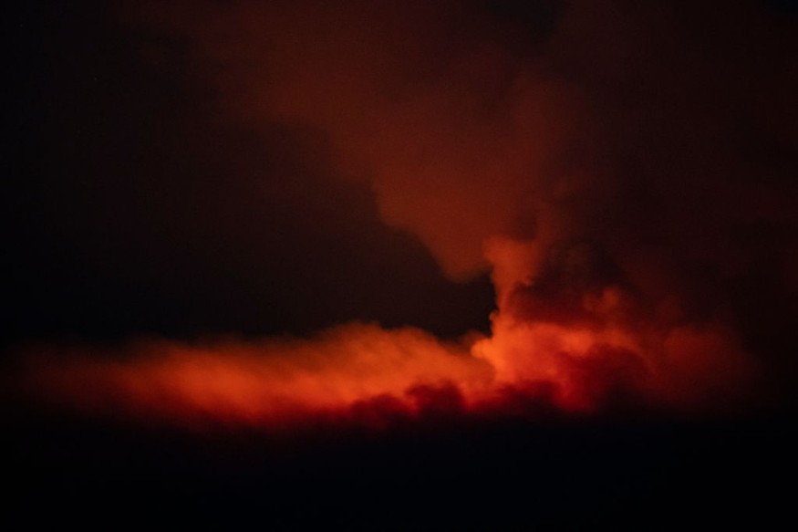
Fire Weather Conditions
The US weather authorities highlighted the ongoing risk of fire weather conditions from the Great Basin into the Southwest until Saturday as well.
This comes after the SPC issued a "Critical Risk" for the formation, growth, or spread of fire in the drought-stricken US region on Friday.
The assessment is based on the US storm agency's Fire Weather Outlook, indicating most of the affected areas will be in the state of Nevada on Friday:
- Las Vegas
- Henderson
- Paradise
- Sunrise Manor
- North Las Vegas
The fire weather threat could affect almost 2.5 million people in the mentioned areas.
Humidity, hot temperatures, soil moisture, and strong winds are some of the conditions, which could be in favor for fire growth in the region.
© 2026 NatureWorldNews.com All rights reserved. Do not reproduce without permission.


