A tropical disturbance over the Gulf of Mexico is likely to hit southern Florida and other areas across the Gulf Coast of the United States, according to the latest US weather update.
US meteorologists expected that the weather system has a high chance of developing into a storm, posing a threat of heavy rain and urban flooding this coming weekend.
The weather disturbance may not only affect Florida but also other Gulf States, including Alabama, Mississippi, and Louisiana.
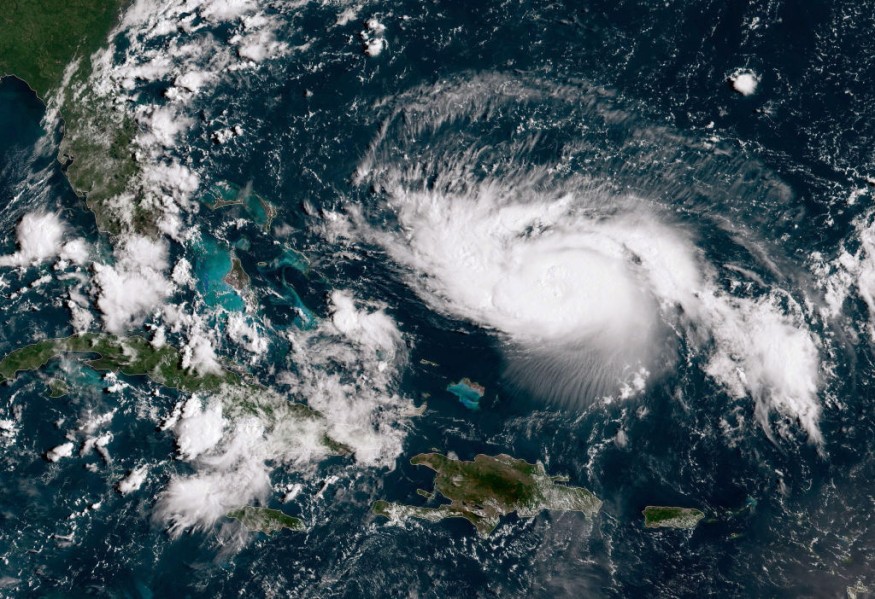
The forecast update comes as Hurricane Agatha heads toward the region, leaving Mexico with at least 11 people dead with dozens missing.
After making landfall in the Central American nation on Monday, May 30, Hurricane Agatha has been downgraded as a low-pressure system.
The latest developments counter previous forecast that Agatha could still hit Florida as a hurricane.
However, new forecasts suggested it may still impact the Sunshine State in other forms.
Florida Under Threat
The National Hurricane Center (NHC) previously issued a forecast that the remnants of Hurricane Agatha could become the first named storm called Alex of the 2022 Atlantic Hurricane season later this week.
Based on global model guidance, the US hurricane agency said that this will be possible through Agatha's absorption by a "larger low-level cyclonic gyre" over Southeast Mexico, as cited by CNN.
The NHC suggested that there is a 30% to 70% chance the so-called gyre and Agatha's remnants will develop into a tropical depression until Sunday, June 5.
During the recent NHC weather forecast, this new system could hit Florida later this week.
Also Read: Hurricane Agatha Expected to Intensify After Making Landfall in Mexico
Tropical Disturbance
On Wednesday, June 1, the Weather Prediction Center (WPC) of the National Weather Service (NWS) in College Park, Maryland, issued a short-range forecast, suggesting that in line with NHC's prediction, the tropical disturbance will approach Florida on Friday, June 3.
The weather disturbance will dump rainfall and cause thunderstorms into Saturday, June 4.
The WPC placed emphasis on the risk of flash floods in urban countries of Southeast Florida, highlighting a "moderate risk" across the region.
Both the NHC and the NWS are under the arm of the National Oceanic and Atmospheric Administration (NOAA), but often issues separate weather forecasts.
Nevertheless, there are instances when one department cited or integrated the report of other agencies, including the Storm Prediction Center (SPC).
Severe Weather Forecast Update
On the other hand, the NWS - WPC also updated its storm forecast for the US, suggesting scattered thunderstorms and torrential rain are possible in states in the Mid-Atlantic region.
This will be accompanied by damaging winds and flash flooding.
The forecast was based on the updated SPC Severe Thunderstorm Report for Thursday, June 2, which underlined the probability of storm hazards, such as large hail and severe wind into the Mid-Atlantic from Texas.
The SPC highlights the following areas are affected by the severe weather
- Dallas, Texas
- Fort Worth, Texas
- Arlington, Texas
- Plano, Texas
- Garland, Texas
- New York City, New York
- Philadelphia, Pennsylvania
- Columbus, Ohio
- Memphis, Tennessee
- Nashville, Tennessee
Other areas not mentioned above can still be affected.
Based on previous severe storm-related events in the US over recent months, tornado outbreaks are highly possible during severe thunderstorms.
© 2026 NatureWorldNews.com All rights reserved. Do not reproduce without permission.


