Severe thunderstorms are likely to hit the Central US and wildfire-triggering critical fire weather conditions may continue in the Southwest US until early next week.
This comes as the spring season of the Continental US draws near, wherein such a period was marked by similar events for the past several weeks.
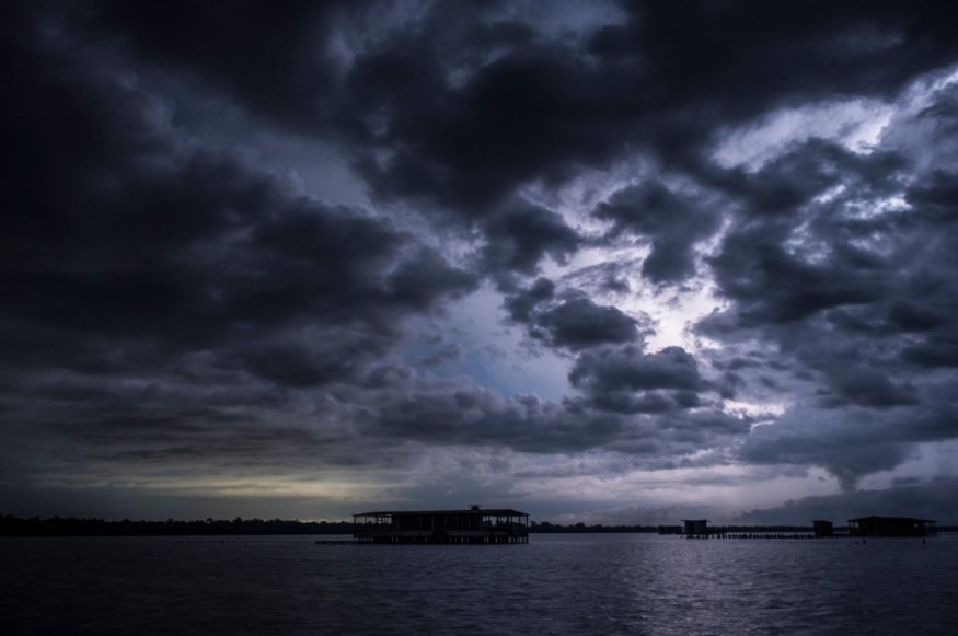
Weather Warning
On Saturday, April 30, the Weather Prediction Center (WPC) of the National Oceanic and Atmospheric Administration (NOAA) - National Weather Service (NWS) issued its latest weather warning, which is valid from Sunday to Tuesday, May 1 to May 3.
However, the said warming can still be updated or extended until further notice due to the potential abrupt changes in weather patterns and related climatic phenomena.
The weather advisory under WPC's short-range forecast discussion page indicates that the severe storms accompanied by heavy rain and flash floods are expected to affect the Midwest and into the tri-state region called 'Ark-La-Tex', an area that covers the states of Arkansas, Louisiana, and Texas together.
In addition, related adverse weather is also possible over the southern High Plains on Sunday, with flash flood risks stretching eastward into some areas in northern Texas to Oklahoma until Sunday evening.
These weather disturbances are also likely to produce large hail, damaging winds, and tornadoes.
Meanwhile, the advisory underscored the risk of fire weather from northern Arizona into the western-central parts of New Mexico on Sunday.
The said states have recently incurred a series of wildfires, causing widespread damage and evacuations.
Severe Storms
The NOAA - NWS weather forecast for severe storms was also supported by AccuWeather meteorologists when they stated that "potentially dangerous" and "damaging storms" due to a severe weather system will strike portions of the Midwest and the southern Plains until the evening of Monday, May 2.
Specifically, the WPC's forecast emphasizes that thunderstorms are likely to develop from Saturday evening ahead of a cold front that is traversing eastward to lower Ohio and lower Mississippi Valley.
Under these circumstances, this inclement weather is possible under these circumstances from southern Wisconsin, the middle Mississippi Valley, and northeastern Texas.
Related adverse weather has also been forecasted in central and southern Florida, with a high risk of torrential rain and localized flooding on Saturday evening, notably affecting low-lying urban areas with a poor drainage system.
Fire Weather Conditions
The Storm Prediction Center (SPC) of the NOAA - NWS also issued its warning for both elevated and critical fire weather conditions not only for Arizona and New Mexico but also as far as northeast Utah, northwest Colorado, and southwest Wyoming.
The fire weather warning is based on existing dry fuels, dry conditions, warm or hot temperatures, relative humidity, soil moisture, and wind direction in Southwest US.
These climatic conditions, especially the windy weather, have continued to fuel the ongoing wildfires, including in New Mexico, as per The New York Times.
Over recent days, thousands of firefighters have been battling the so-called 'southwest wildfires' with further evacuations expected to continue in the short-term period.
Aside from New Mexico, flames have also engulfed some parts of Arizona and Nebraska.
Collectively, the wildfires have resulted in widespread infrastructural damage and localized travel disruption.
Related Article: Central US Gear Up Due to Warnings of Thunderstorms and Tornadoes
© 2026 NatureWorldNews.com All rights reserved. Do not reproduce without permission.


