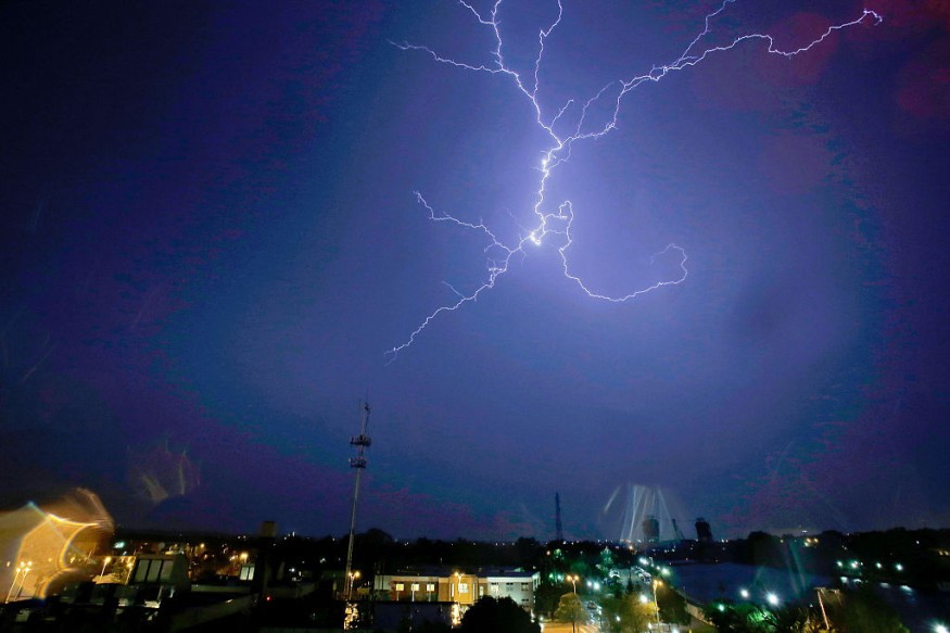
A 'potentially damaging' thunderstorm was forecasted to hit northeastern Louisiana to western Kentucky, following a severe thunderstorm that 'hammered' parts of Texas, southeastern Oklahoma and northwestern Arkansas last Monday night.
As wintry weather arrives in North Texas, temperatures will potentially drop below freezing. Precipitation is likely to move into the area early Wednesday, while thunderstorms will most likely erupt across the Mississippi Valley and develop northeastward into Tuesday evening.
Multiple tornado watches had been issued across Central US. Such warning had been placed shortly in Mayfield, Kentucky before 7 a.m. local time Tuesday, and across the Mississippi Valley.
"As Tuesday's system evolves, storms will explode farther south across Mississippi, Alabama and Tennessee. Any of these storms will be capable of producing damaging winds, flooding downpours and a tornado," said AccuWeather Meteorologist Matt Benz.
Multiple tornado and hail warnings
As storms continue to roll northeastward, eastern counties of Oklahoma and western counties of Arkansas will face severe storms, as well as Justin, Texas, located about 36 miles northwest of Dallas.
The National Weather Service's Storm Prediction Center (SPC) also reported multiple hail warnings on late Monday, ranging in size from 0.75-1.75 inches in diameter. Regions affected were Fort Worth, Texas, and neighboring south of Decatur, damaging houses and windows along its path.
"More than 9 million are facing a "slight" risk of severe weather on Tuesday," according to the SPC. "This population area includes Memphis and Nashville, Tennessee; Louisville, Kentucky; and Jackson, Mississippi."
As of Wednesday, SPC reports no severe thunderstorms expected today or tonight.
The highest rainfall totals are expected to come through Wednesday morning from northeastern Arkansas to border of eastern Kentucky. Meanwhile, AccuWeather Local StormMaxTM predicted 6 inches of rainfall in cities such as Nashville and Louisville which will be "in the zone of the heaviest rainfall."
Also read : Landslides Due to Heavy Rains Kill Almost 100 People in Brazilian Mountain City of Petropolis
Flood advisory in some areas
After a drenching rain on some parts of the Mississippi Valley and northeast, a threat of flash flooding was forecasted through Wednesday. Some rivers and streams across the Tennessee and Ohio valleys are already at a minor flood stage, while few locations in Ohio and Indiana are experiencing moderate flooding, such as the Tippecanoe River and St. Joseph River, the National Weather Service (NWS) reported.
Forecasters fear that additional rainfall will flood rivers throughout the region.
"Areas have been hit hard with rain already this month, so the ground is already saturated. That means any additional rainfall will run off quickly into already swollen rivers, keeping river levels high and contributing to additional flooding through at least Wednesday," said Benz.
While Wednesday storms are expected to be likely isolated and less severe, a second storm predicted to arrive in central US this week may result to another batch of rain and thunderstorms to the Gulf coast.
A "storm duo" will most likely aggravate flood risks in Louisiana to Pennsylvania, and forecasters warn that chances of flood in nearby areas may change over time. This "pair of cross-country winter storms" is also expected to deliver snow and icy conditions across the central and eastern United States, as early as this week.
Also read : Predicting Disaster? Sea Turtle Swam For 47 Days After Sensing Devastating Volcanic Outburst
© 2026 NatureWorldNews.com All rights reserved. Do not reproduce without permission.


