Eastern US is bracing for an incoming potent storm system that was responsible for over 200 incidents of multi-hazard severe weather conditions in the Central US from Wednesday to Thursday, March 30 to March 31.
The recent weather forecasts show the said system is moving to the Eastern Seaboard, bringing severe weather with the high chance of carrying thunderstorms and the potential formation of a few tornadoes, putting 75 million people at risk.
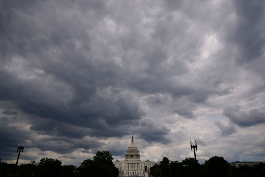
The states of Florida, Georgia, South Carolina, North Carolina, Virginia, Maryland, Delaware, Massachusetts, New Jersey, New York, Connecticut, Rhode Island, New Hampshire, and Maine will be under the threat zone posed by the incoming adverse weather.
New Weather Advisory
The National Oceanic and Atmospheric Administration (NOAA) - National Weather Service (NWS) issued a weather advisory for the incoming potent storm system, transporting a mixture of potential tornadoes, thunderstorms, rainfall, gusty winds, and snow squalls.
The advisory is in effect from Friday to Sunday, April 1 to April 3. The NOAA - NWS highlighted Oki that the multi-hazard severe weather may develop ahead of a cold front that may also impact some portions of the Eastern US.
The potent storm system may also lead to the formation of strong to severe storms with damaging winds and a few twisters in the Southeast US, the Mid-Atlantic, and Hudson Valley as well.
According to The New York Times, the powerful storm has already killed at least two people in the Florida Panhandle.
Other Weather Forecast
In another weather forecast, the US weather agency mentioned 'a series of upper-level disturbances' that will support torrential rain and snow showers from the regions of the Great Lakes, Ohio Valley, Northeast, and Mid Atlantic overnight from Thursday to Friday.
The weather disturbances will be accompanied by cold northwesterly to westerly winds which will fuel the 'winter-like' weather.
In addition, snow squalls are also possible from the central parts of the Appalachians and lower portions of the Great Lakes to the Northeast and Mid-Atlantic on Friday.
A similar weather condition will be felt in the Western US, from the Rockies to the north-central Great Plains from Thursday evening to Friday morning, says the NOAA - NWS.
However, dry conditions will prevail for most of the western region until the end of the week.
Storm Aftermath in the Central US
Over recent days, the potent storm system wreaked havoc in the Central US, particularly the tornado outbreak in Springdale, Arkansas, on Wednesday morning.
The twister was classified as an EF3 under the Enhanced Fujita scale, as per AccuWeather.
AccuWeather previously issued a long-term tornado forecast for the US this year.
Their forecast revealed that the frequency, intensity, and coverage of tornadoes may go beyond the so-called "tornado alley" states in the country.
Their prediction added severe weather will intensity for the months of April, May, and June; this will consist in the formation of hundreds of tornadoes.
The US is currently in its spring season.
However, a multitude of severe weather phenomena has ravaged some parts of the country that was supposed to have relatively calm and warm weather.
Related Article: Developing Storm System to Bring Severe Weather in the Eastern Half of the United States
© 2026 NatureWorldNews.com All rights reserved. Do not reproduce without permission.


