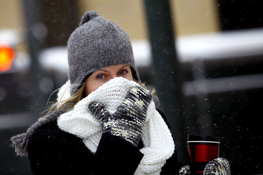
Meteorologists advise that anyone from the Great Lakes to the northeastern United States should have thicker jackets and snow brushes because Old Man Winter and his pal, the polar vortex, aren't done with the region yet.
Weekend Weather
This weekend, cold air from northern Canada will travel into the Northeast.
While this may not be the last blast of winterlike weather for the Northeast, AccuWeather Senior Meteorologist Brett Anderson said it will surely pack a punch.
According to Lead Long-Range Meteorologist Paul Pastelok earlier this week, the polar vortex has weakened and divided. When the polar vortex is active, it tends to linger around the North Pole, trapping the coldest air close and north of the Arctic Circle. However, when the polar vortex weakens, a southerly outflow of significantly colder air occurs in parts of the United States.
Polar Vortex Incoming
This weekend, a swath of the polar vortex will settle across southeastern Canada. Cold air will be channeled southward from this place.
According to Senior Meteorologist Brett Anderson, a straight discharge of Arctic air will wash into the northeastern section of the country starting this weekend. The cold will last until early next week.
Also Read : Spring to Bring Extreme Weather Conditions in the US Spring to Bring Extreme Weather Conditions in the US
Temperature
Forecasters predict temperature deviations of 10-20 degrees Fahrenheit below normal. In late March, average high temperatures vary from roughly 40 degrees in northern Maine to the mid-60s around the Chesapeake Bay.
Early next week, maximum temperatures in Boston and New York City are expected to be in the 30s, approaching 40 in Philadelphia, and in the mid-40s in Washington, D.C., where the National Cherry Blossom Festival is taking place. For a day or two, highs in the central and northern Appalachians may not even reach freezing, as the weather will feel more like early February.
Possible Altercation
As early as Sunday morning, Anderson said, widespread, gusty northwest winds may drop temperatures as low as zero F over the Appalachians and into the 20s near the I-95 corridor.
Although cloud cover and wind will keep the temperature from plummeting to mid-winter levels at night, temperatures will drop below freezing over much of the area early next week, including in many larger cities along the Interstate 95 corridor.
People who have begun outside gardening may need to cover sensitive plants, and meteorologists recommend bringing potted plants inside.
It's getting late in the season for widespread snowfalls now that spring has arrived. According to analysts, the upcoming trend will bring some chances of winter precipitation.
Forecast
Anderson predicted that when the cold air travels over the open waters of the Great Lakes, extensive rain and snow showers will occur, extending considerably to the south and east. While most roads will merely be wet, higher elevations may see bursts of locally heavy snow, making travel problematic at times owing to poor visibility.
Over the mountains, this weekend and into next week, snow may cover grassy areas and perhaps leave a little slush on certain paved surfaces. A few wet snowflakes mixed in with rain showers are also possible in some areas along the I-95 corridor.
A warmth is expected for the region when the major dip in the jet stream pivots northeastward towards the middle of next week, allowing temperatures to rise above ordinary for a few days.
However, in early April, additional unusually cold air may return.
According to long-range weather patterns throughout the world, another large dip in the jet stream in the Northeast is possible between April 3 and 4, Pastelok added.
The team forecasts more usual temperature swings towards the middle of April.
For the middle two weeks of April, the chill following any cold fronts appears normal or unremarkable. Still, there is a risk of more jet stream dips with larger cold shots later in April or early May, setting the stage for late-season frosts in the Northeast moving forward, according to Pastelok.
For more news about the environment, don't forget to follow Nature World News
© 2026 NatureWorldNews.com All rights reserved. Do not reproduce without permission.


