AccuWeather forecasters say the weather is likely to change dramatically, with a quick freeze-up expected throughout large swaths of the Midwest and the interior Northeast from Thursday night into Friday.
On Wednesday, temperatures already dropped into the 20s as snowstorms made travel treacherous over much of the central United States.
Rapid Freeze-up Expected in Midwest
According to AccuWeather, temperatures in the Plains, Midwest, and Northeast are expected to fall to 10-20 degrees below average by Friday after rising to levels more typical of April in many locations.
Unless large ice-melting agents are used, regions of standing water, slush, and moisture will freeze as temperatures fall from west to east. In addition, rain will swiftly wash away chemicals used to melt snow and ice, preventing many teams from adequately pre-treating roadways.
Some locations, such as eastern Kansas, Illinois, southeastern Michigan, northern Indiana, and northwestern Ohio, may struggle to keep up with plowing workers due to heavy snowfall rates.
If freezing temperatures and snow extend eastward, main routes like I-40, 49, 55, 65, 69, 70, 75, 80 and 90 could grind to a halt on Thursday night as temperatures plummet from the central Plains to the lower Great Lakes region.
Also Read : Blizzard Warning! Winter Storm, Bomb Cyclone Causes Canceled Flights, Power Outages Across the US
Travel Delays Due to Freezing Temperatures
Flights have already been canceled on Thursday due to icy conditions, and additional cancellations are expected. Even if big hubs like Chicago, Detroit, and St. Louis don't cancel flights, deicing operations and runway maintenance will cause significant delays at smaller regional airports.
According to WVNews, temperatures in Kansas City, Missouri, remained in the mid-60s F throughout the day on Thursday. Temperatures dropped by 40 degrees at night, though.
There were whiteout conditions, thunder and lightning as well as temperatures in the low 20s before the sun came out on Thursday. Temperatures are expected to drop into the single digits after an 8-12 inch snowstorm, making travel difficult through early Friday morning, according to forecasts.
While snow and ice are clearly visible, rain is also clearly visible on this radar image from midday on Thursday. Just before a snowfall hit, temperatures in Chicago had fallen to almost 30 F at daybreak, and they would go significantly lower Thursday night and Friday morning, with a low of 10 F.
Even in the depths of winter, temperatures are expected to fall below the normal lows. Jan. 15 is the hottest day of the year in Chicago, with an average temperature of 31 degrees.
Areas to Experience Snow
Despite a high of 50 degrees on Wednesday, temperatures in Detroit plummeted to 30 degrees by the dawn of Thursday due to heavy rains. By evening rush hour, a wintry mix will have turned to heavy snow, and the Motor City's snow total will have risen to 6-10 inches. In the lower teens on Friday morning, temperatures will increase to the mid-20s by afternoon.
Slush and water are predicted to freeze Thursday night and Friday morning, despite the fact that just a little quantity of snow is expected to fall in the St. Louis area.
The previous two days' highs were in the mid-sixties. After a high of 60 degrees on Thursday, temperatures are expected to fall to the mid-20s Thursday night in Cincinnati, which may or may not see any snowfall from the storm.
The storm is expected to bring far less snow to the east, from eastern Ohio through northwestern Pennsylvania and upstate New York and northern New England. However, heavy rain and rapid melting of the snow cover may cause major floods in some regions, which will then freeze over on Friday and into Saturday.
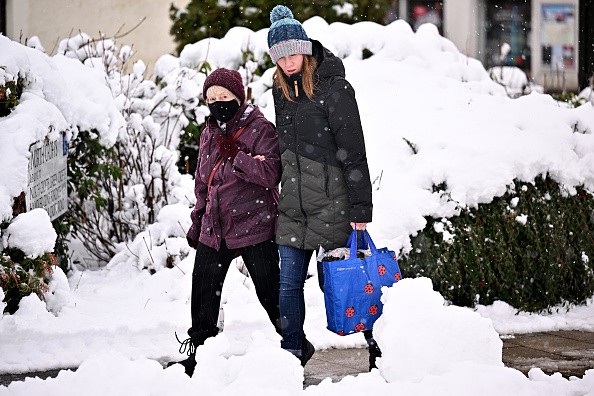
Ice can form on untreated roads and sidewalks, as well as areas of water that have been flooded or are at risk of freezing.
Late Thursday night through early Friday morning, a period of torrential rains in the mid-Atlantic and southern New England will leave most roadways dry. Washington, D.C., Philadelphia, New York City, and Boston are all included in this category.
The sudden drop in temperature will serve as a stark reminder that it is just the third week of February, not the middle or end of April.
Related Article : Cold Weather Expected in Central US After a Winter Storm
For more news, updates about storms and similar topics don't forget to follow Nature World News!
© 2026 NatureWorldNews.com All rights reserved. Do not reproduce without permission.


