The National Weather Service said heavy snowfall, mixed with winter, torrential rain could bring flooding and severe thunderstorms with tornadoes.
Disruptive snow and ice accumulations extend from the south-central plains to southern Michigan on Thursday, Feb. 17.
The Weather Service said the greatest chance for disruptive snow extends from south-central Kansas through central Missouri, northern Illinois, and into central Michigan.
The potential dangerous weather spread over 11 states
According to USA Today, slippery and potentially hazardous travel and possible postponement or cancellation of school in Kansas City, St. Louis, and Chicago, where there is up to half a foot of snow, is possible.
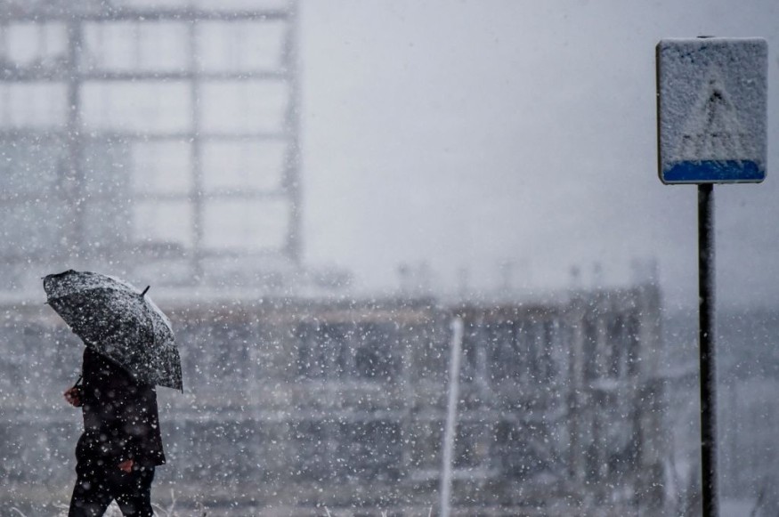
On the storm's northwest flank, heavy snowfall can combine with strong gusts to create limited visibility or even blizzard.
The storm is expected to sink southeast of the Rockies until Tuesday night.
Snow not only brings snow waves to the mountains of California but also accumulates in the Colorado Rockies.
As per AccuWeather, the storm will then turn northeast and move from northern Texas to southern Michigan, where it is expected to intensify on Wednesday.
As the storms intensify and begin to take shape east of the Rocky Mountains, they help draw moisture from the Gulf of Mexico and increase the amount of water that falls.
In addition to strong winds, blown dust can obscure visibility and create dangerous travel conditions. This combination of strong winds, low humidity, and dry fuel is suitable for dangerous fire weather conditions.
The Storm Forecast Center today poses a significant fire weather risk to the southern and highlands of eastern New Mexico and western Texas.
The fire threat spread further south along the Lower Rio Grande Valley on Thursday, where there was a significant fire weather risk.
On the storm's cold northwestern side, a stripe of moderate to serious snow with difficult travel is probably going to increase from close to the panhandles of Texas and Oklahoma to parts of Wisconsin and Michigan.
This includes cities like Kansas City, Kansas; Des Moines, Iowa; Green Bay, Wisconsin, and Chicago. Snow may lead to a zone slippery travel for these locations and in between, spanning portions of interstates 25, 35, 70, 80, 90, and 94.
The winter weather may also impact shipping.
The stripe of heaviest snow presently forecasted for portions of northern Missouri, eastern Iowa, northern Illinois, and Michigan are where impacts to travel are possible to be the foremost widespread.
The weather will insist until Friday
Fortunately, this storm system is running fast because it's set to plunge into northern New England until Friday.
With the exception of central and southern Florida, the East Coast experiences wet rush hours on Friday mornings.
A quick switch to snow is possible as the cold front passes northeast, but the total is lower due to the progressiveness of the storm.
Meanwhile, Alberta Clipper will quickly snow on the Upper Midwest and parts of the Great Lakes on Friday, with relatively light snowfall expected, as per Storm Forecast Center.
© 2026 NatureWorldNews.com All rights reserved. Do not reproduce without permission.


