A 6.2 magnitude earthquake occurred south of Guam on Monday, Feb. 14.
The US geo-seismic reports said there were no immediate reports of casualties, damage, or a tsunami warning.
However, people in the affected area may experience shaking as aftershocks are likely in the coming hours.
Earthquake Recorded South of Guam
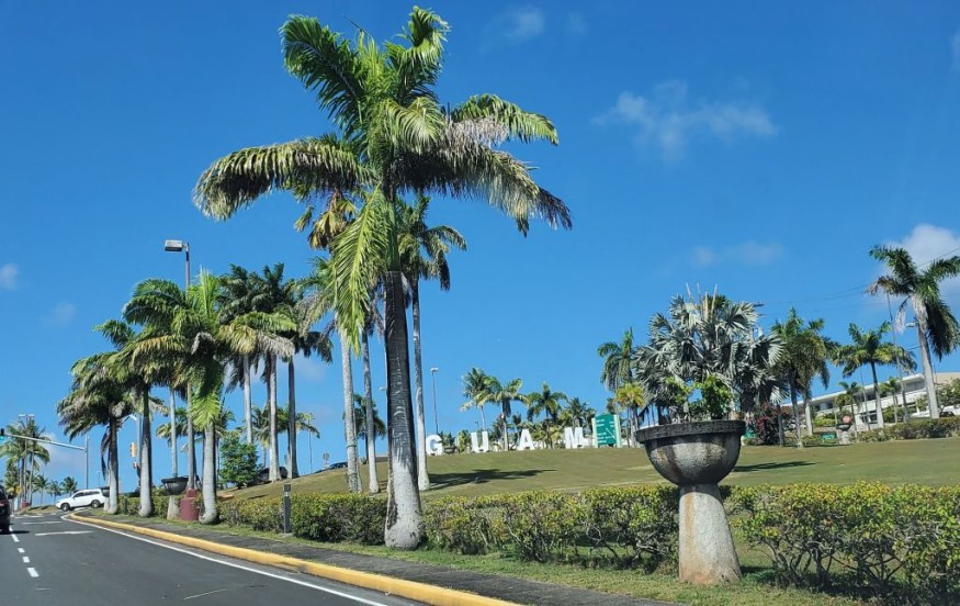
A 6.2 magnitude earthquake struck the village of Merizo, Guam, on Monday morning, as per the United States Geological Survey.
According to the National Oceanic and Atmospheric Administration (NOAA) - U.S. Tsunami Warning System no tsunami warning has been issued yet.
The epicenter of the earthquake occurred 175 kilometers (109 miles) south of Guam. There were no immediate reports of casualties or damage from the recent 6.2 magnitude earthquake in Guam.
However, the NOAA - U.S. Tsunami Warning System said some areas may experience shaking.
The 6.2 magnitude earthquake had a depth of 43 kilometers (27 miles).
It is relatively strong and has the potential for severe damage and disruption based on the Richter magnitude scale, as per USGS.
Previous Earthquakes in Guam
Although earthquakes in Guam are not frequent, the island has been struck by some of the strongest earthquakes over the past 200 years.
As per the NOAA - National Geophysical Data Center's database, the following major earthquakes have occurred in Guam:
- 1849 - A 7.5 magnitude earthquake in Guam resulted in an unspecified number of casualties, causing severe infrastructural damage and a tsunami.
- 1902 - A 8.1 magnitude earthquake led to a few casualties and severe infrastructural damage.
- 1909 - A 8.0 magnitude earthquake was responsible for moderate infrastructural damage and the occurrence of a tsunami. The number of casualties is not clear.
- 1993 - A 7.8 magnitude earthquake injured several dozens of people and resulted in a tsunami. The earthquake brought $250 million worth of infrastructural damages.
- 2002 - A 7.1 magnitude earthquake injured five people and result in minor infrastructural damage.
Pacific Ring of Fire: Earthquakes and Volcanic Eruptions
The island of Guam is an unincorporated territory of the US under the Guam Organic Act of 1950.
Located in the North Pacific Ocean, earthquakes in Guam are relatively common but not that frequent.
Still, these earthquakes are often associated with a tsunami.
Guam is situated along the Pacific Ring of Fire, a horseshoe-shaped basin across the Pacific Ocean where several tectonic plates move and interact with one another.
The friction caused by these tectonic plates leads to active seismic activities, including earthquakes and volcanic eruptions.
Also known as the Circum-Pacific Belt, the Ring of Fire is a region where the majority of Earth's volcanic eruptions and earthquakes take place, as per National Geographic.
The Ring of Fire has a length of 40,000 kilometers (24,900).
The Ring of Fire is situated above the boundaries of several tectonic plates, including the Cocos, Pacific, Juan de Fuca, Indian-Australia, Nazca, North American, and Philippine Plates.
Approximately 90% of earthquakes occur along the Ring of Fire.
Furthermore, more than 450 or 75% of Earth's volcanoes are within this seismically active region in the Pacific Ocean.
© 2026 NatureWorldNews.com All rights reserved. Do not reproduce without permission.


