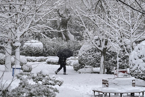
Old Man Winter has started a business in the Northeast, and it doesn't look like the winter is going anywhere anytime soon, as many possibilities of snow are in the forecast in days to come.
Areas Expected to Receive Snow
Clipper-type storms tend to ride along the jet stream, where the boundary between Arctic air and comparatively mild air is located, because of the multiple waves of cold air forecast to dip down from Canada.
Fast-moving storms like this can dump 1-2 inches of snow in a matter of minutes, but persistent snow bands can dump 3-6 inches of snow, which can cause major traffic jams.
From central Minnesota to lower Michigan, a wide swath of accumulating snow was produced by the first Alberta clipper that passed through the upper Midwest on Saturday afternoon to early Sunday morning.
Almost 4 inches of fresh snow fell in Chicago over the weekend, while Madison, Wisconsin, saw almost 5 inches, and the Wisconsin-Iowa border saw just over 6 inches of snowfall.
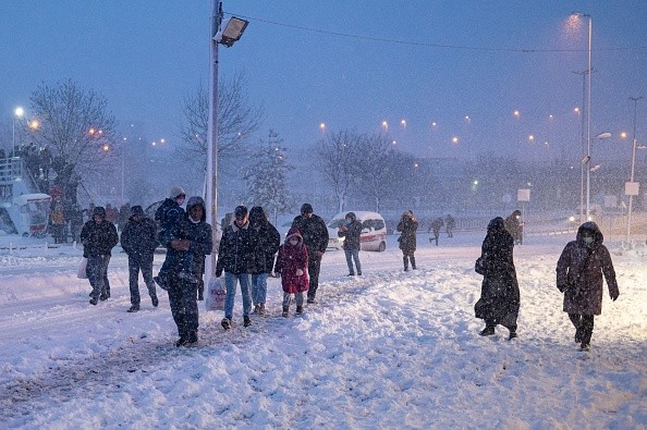
Poor Visibility Due to Snow Storm
The Pennsylvania Department of Transportation imposed a speed limit on Interstate 80 west of Harrisburg to the Ohio border as of late Sunday morning.
Commercial vehicles, such as tractor-trailers and delivery trucks, were urged to only use the right side of the road due to poor visibility caused by a strong snow storm, which lowered the speed limit to 45 miles per hour.
Through Sunday evening, snow continued to drift eastward into the interior parts of the Northeast and mid-Atlantic, with Columbus, Ohio, reporting 1.8 inches of snow and Pittsburgh, Pennsylvania, reporting slightly over 2 inches.
West Virginia had roughly 3 inches of snow; Colliers and Benwood received 2.5 inches. Binghamton, New York's Greater Binghamton Airport also reported 0.5 inches of snowfall.
In North Royalton, Ohio, about 8 inches of snow fell, while in Hinckley, Ohio, about 7 inches fell. As the clipper sped out of the region on Sunday night, it left behind a significant amount of snow, particularly in West Sunbury, Pennsylvania.
Possible Travel Disruptions
Cities along the I-95 corridor had some snowfall Sunday night, including New York City and Philadelphia. Clipper-related accumulation was minimal, although a light coating on highways might cause travel delays.
For cities along the Interstate 80 corridor from eastern Illinois into western Pennsylvania, AccuWeather meteorologist Brandon Buckingham expects a slow Monday morning commute due to the second of two clipper-type storms.
During the night of Monday, most of the snow will have moved eastward, from the Midwest to the eastern Great Lakes and New England region.
This storm is expected to bring 1-3 inches of fresh snow to most areas along its path, but certain areas near Lake Erie and Ontario and the highest elevations in West Virginia's Appalachian Mountains might see more than 10 inches.
For more news, updates about snow and similar topics don't forget to follow Nature World News!
© 2026 NatureWorldNews.com All rights reserved. Do not reproduce without permission.


