Winter is approaching in the Northern Hemisphere, altering weather patterns across the United States, as tricky as it may be to believe.
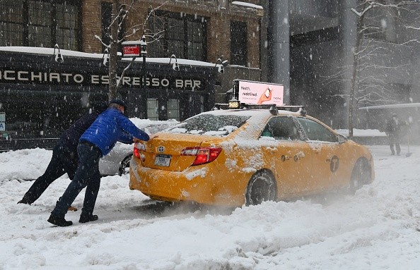
Beginning late next week, a "severe blast" of Arctic air is expected to sweep through sections of the US Lower 48, according to weather forecaster Electroverse.
Forecast
On Tuesday, the editor of Electroverse, Cap Allon, released a statement outlining how a probable Arctic air mass would begin to flood into the United States from Canada on Nov. 18.
"A word of caution, however: this projection is still in the uncertain time window - the models might easily alter," Allon said. However, the GFS projecting such a widespread blast of cold with such certainty leads me to assume that this, or something similar, is likely to unfold - and if it does, cold-records will be threatened throughout virtually every state."
Arctic Blast
Colder weather might make it more difficult for certain power facilities switching from natural gas to coal due to high pricing. This winter, finding coal has become increasingly difficult.
Affecting Energy Sources
Ernie Thrasher, CEO of Xcoal Energy & Resources, the largest coal exporter in the United States, predicted that demand for coal will stay strong long into 2022. However, domestic supply restrictions are a concern, and electricity firms are already "discussing probable grid outages this winter," he said.
Peabody Energy, the world's largest coal firm, has seen earnings treble during the global energy crisis due to cold weather and increased coal demand.
So, if estimates for next week are correct, expect colder weather and higher energy expenses. Meanwhile, as the globe returns to coal, the green transition will be put on hold this fall/winter (in terms of the proportion of electricity generation on the grid)
Related Article : Winter May Start with a Bang in the Eastern Plains as a Blizzard Forms
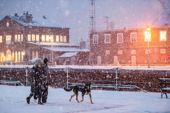
Temperature Drop

Lower temperatures will develop first in the Pacific Northwest, accompanied by a lot of rain, the region's first major rain event in six months. This weekend's refreshing combines with the overall Arctic blast over Canada, which will continue to sweep throughout the United States until early next week.
Temperatures will drop by around 40 degrees Fahrenheit, bringing fall-like weather with cool mornings and maybe the first frosts for some. The higher Northern Rocky Mountains will be blanketed in fresh snow due to the significantly colder weather.
A typical dipole combination of blocking high over the continent and a deep trough emerging over the Gulf of Alaska, advancing towards the Pacific Northwest, can be seen in the overall weather pattern over North America.
This will bring much-needed rain to the area and cooler temperatures, and the possibility of snow in the higher elevations.
For more news the environment, don't forget to follow Nature World News!
© 2026 NatureWorldNews.com All rights reserved. Do not reproduce without permission.


