Since the La Soufrière's eruptive activity in April 2021, recent report by the seismic network shows that tremors have remained low at La Soufrière but persistent steaming has been observed.
NASA FIRMS alert system detected thermal anomalies as temperature rises inside the new crater.
The La Soufrière volcano in Saint Vincent and the Grenadines has been inactive since 1979, but its seismic activity in December 2020 has worried volcanologists when a new lava dome began to grow southwest of the pre-existing 1979 lava dome, accompanied by increased seismicity, crater incandescence, and gas-and-steam emissions.
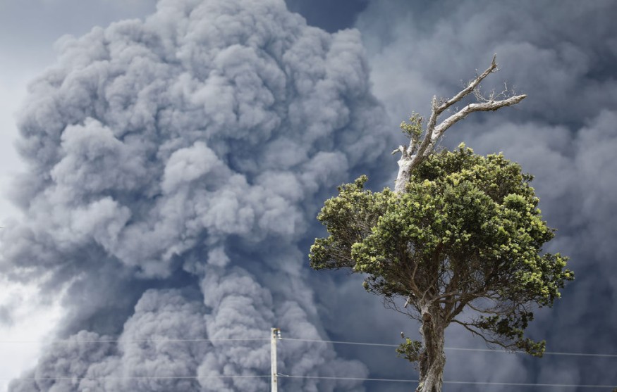
Its multiple explosions on April triggered pyroclastic flows and blanketed the St. Vincent Island with ash and debris, contaminating agricultural fields and water supplies.
University of the West Indies Seismic Research Centre (UWI-SRC) said seismic activity remained low through 11 May and only a few long-period earthquakes have been recorded in the last 24 hours since then.
In addition, they reported the volcano remains to be 'in a state of unrest'. Precautions should still be observed especially in traversing river valleys on the volcano as risk of lahars or mudflows continues to increase during periods of rainfalls.
The Volcano is at Alert Level Orange
UWI-SRC confirmed that the Volcanic Hazard Alert Level System for Soufriere St. Vincent is at Level Orange. This means there is highly elevated level of seismicity that may occur with less than 24 hours' notice. Monitoring system should be continuously manned and potential vent areas should be inspected regularly.
Assessment of the activity such as ground deformation and hydrothermal monitoring should be reported to civil authorities daily. Civil authorities are tasked to coordinate evacuation if necessary, permit scientists' entry to restricted zones only after evacuation and organize public information through radio or television announcements.
In the most recent weekly report: 5 May-11 May 2021, UWI-SRC suggested the public may return to their homes in the Yellow and Orange zones, though access to the Red Zone remained restricted.
They also noted that boulders 5 m in diameter have been mobilized by continuing lahars and persistent steam in areas where they contacted hot deposits have been observed in observatories when clouds were high.
The sulfur dioxide emissions were said to submit a flux of 208 tons per day on 9 May.
Also read : NASA Renews Spirit in Fighting Climate Change, After Being Limited in Former Administration
Thermal anomalies detected by NASA Satellite Data
Methods of thermal detection has been done over the years from remote sensing satellite data. As volcanic activities transfer heat from the Earth's crust to the atmosphere, satellites from space can measure the heat which in turn can provide a very useful input for detecting volcanic activity globally.
In the La Soufrière's case, satellite observations were made possible from the MODIS and VIIRS instruments where active fires and thermal anomalies can be detected and delivered in near real-time. This includes email alerts, analysis-ready data, online maps, and web services.
Results presented from satellite thermal data allows better understanding for volcanic phenomena, therefore creating up-to-date requirements for the assessment of volcanic hazards.
© 2026 NatureWorldNews.com All rights reserved. Do not reproduce without permission.


