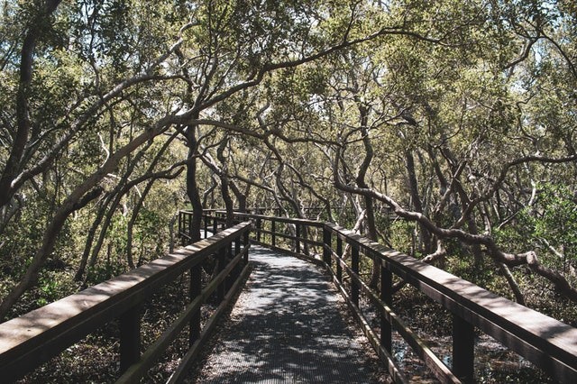
Australia is the residence of about 2% of the earth's mangrove forests and is the fifth-highest mangrove-forested country in the world. Mangroves pay an important role in the ecosystem thanks to the dizzying collection of birds, plants, and animals they protect feed, and house.
Mangrove forests assist in protecting coastal populations from storms and cyclones by soaking up the brunt of a storm's power. They support our battle against climate change by storing large quantities of carbon that would otherwise be discharged as greenhouse gases.
Most Valuable Ecosystems
Mangroves in other words are some of our most valuable ecosystems. Despite their significance, there is a lot we don't understand about these complicated wetland forests. For instance, when does their thriving season begin? And how long can it stay?
Normally, replying to these kinds of concerns needs regular data compilation in the field, but that can be time-consuming and expensive. The recourse is to utilize satellite pictures. This will allow us in the future, to trace the effects of climate change on mangroves and other forests.
Satellite Images
Study used satellite pictures to examine the Northern Territory life cycles of mangrove forests in New South Wales and Queensland. The satellite photos with field data compiled in the 2000s, 1990s, and 1980s was compared and a shocking level of difference in mangrove life cycles was discovered.
The phrase life cycle is been used, but the scientific word is" phenology". Phenology is the research of periodic occurrences in the life cycles of animals and plants. For instance, several plants fruit and flower during the summer and spring, many lose their leaves in winter and autumn.
Importance of Phenology
Phenology is crucial because when plants are thriving, they collect carbon from the atmosphere and store it in their roots, soil, leaves, and trunks. As phenology is sometimes troubled by environmental conditions, researching about phenology helps to know how climate change is influencing Australian ecosystems like mangrove forests.
So how can much be discovered in a little amount of time concerning mangrove phenology? That's where satellite imagery comes into the picture.
Satellites are an extraordinary tool to research about changes in phenology, region, and forest health. Many satellites have been taking pictures of the planet for decades, offering us the chance to glance back 30 years ago or more at the state of mangrove forests.
The Life Cycles of Mangrove Forests
You can believe in satellite pictures much like the image gallery on your mobile phone: you can watch a lot of your family members in a single snapshot, and you can see how everyone blooms and grows over time. In the issue of mangroves, different species and areas can be seen in one satellite image, and previous pictures can be used to research the life cycles of mangrove forests.
The research of satellite mangrove forests in Queensland, New South Wales, and the Northern Territory - and how they related with data collected on the ground - discovered not all mangroves have an exact life cycle.
Related Article : Mangroves May Disappear Beneath Rising Sea Levels by 2050
For more news, updates about mangrove from space and similar topics don't forget to follow Nature World News!
© 2026 NatureWorldNews.com All rights reserved. Do not reproduce without permission.


