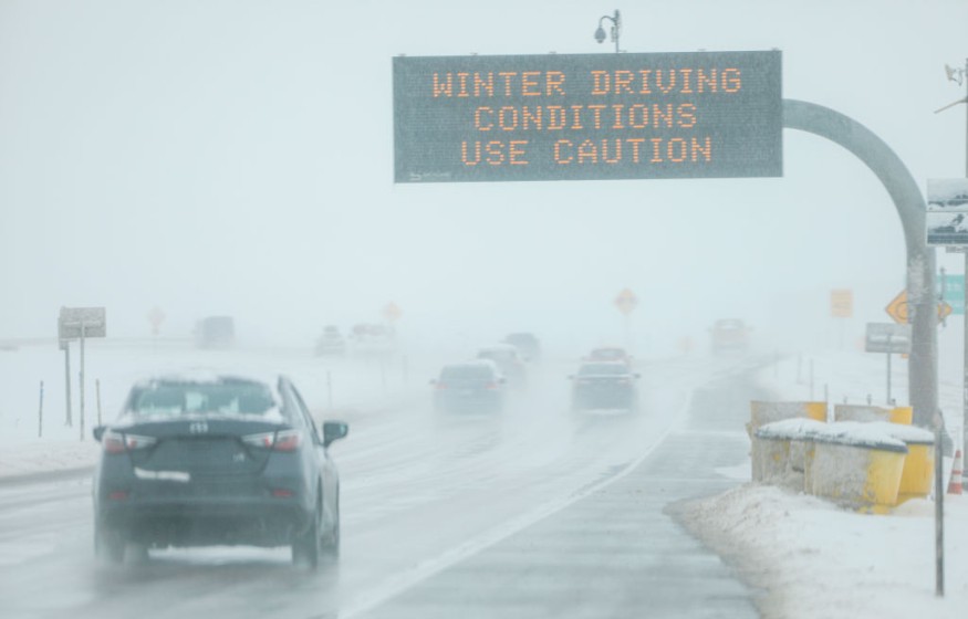
A big winter storm is coming, Accuweather said, with certain areas in New Jersey predicted to have snow 12 to 18 inches high, and varying snowfall in New York and Pennsylvania.
Heavy snow expected
This was the early forecast announced last Saturday night, and if it becomes realized, certain parts in New Jersey may experience over one-foot snow due to the big storm that is expected to come from the coast this Wednesday.
The storm is also expected to linger until the early morning of Thursday.
Specifically, the forecasters from AccuWeather are warning residents that northern New Jersey may have snow as high as 12 to 18 inches, while central New Jersey residents may expect 6 inches up to 12 inches snow.
Meanwhile, the southwestern counties of the state are not getting off easily, with expected snow up to 3 to 6 inches high. The southeastern counties are advised to expect rain for the most part.
Meanwhile, the forecast for the eastern part of Pennsylvania is also heavy snow.
The NWS or National Weather Service has not issued any specific predictions for the snowfall in eastern Pennsylvania and New Jersey, although an NWS Mount Holly office forecaster stated that a one-foot snow level is not impossible in certain parts of this region.
Dependent on the storm's track
Similarly, much uncertainty is still present regarding the storm system's precise track. This track will have a significant role to play regarding what parts of New York, New Jersey, and Pennsylvania, along with the other eastern states, will experience the most snow.
Concurrent with the forecast of AccuWeather, Robert Deal, an NWS meteorologist, reported that the total amount of snow next week will depend a lot on the track of the storm. The temperatures that the region will get will also determine if it will maintain a level below the freezing point before and during the storm's occurrence.
Tyler Roys, a senior meteorologist of AccuWeather, also said the same thing. The highest accumulation and heaviest snow will depend on the storm's exact track. Even small changes in the direction of the can result in significant changes in snowfall amount for any given area. He reported this in s published forecast on the website of the company last Saturday night.
READ ALSO: Worst Lake-Effect Winter Snowstorm Causes One Foot Snow in Cleveland
He also said that according to the present trend, the likely track will be near New England's coast and the mid-Atlantic, so that there will also be a high probability of the snow being heaviest in the same areas.
The coastal storm on Wednesday, there is a possibility that New Jersey will experience a bit of snow coming from the fast-moving Monday storm. This storm will likely bring one to three inches of snow to the Garden State's northern sections.
According to the New York NBC 4's Storm Team 4, a big accumulation of snow is expected in northern New Jersey and New York City, with a foot of snow or higher during the coming winter storm on Wednesday. It is also predicted that strong winds will result in drifting and blowing snow.
It remains to be seen how the predictions and forecasts of AccuWeather and NWS will play out regarding the winter storm coming to New Jersey, New York, and Pennsylvania.
READ NEXT: Extreme Weather in Russia Triggers Chaos and Widespread Power Interruption
Check out for more news and information on Climate Change on Nature World News.
© 2026 NatureWorldNews.com All rights reserved. Do not reproduce without permission.


