An intensified "bomb cyclone" caused torrential rain and gusty winds to the Northeastern parts of the United States. The lower temperatures are being channeled into the region behind the cyclone, which caused numerous trees to be downed and left hundreds of thousands of residents without power. How long will these conditions last?
According to the National Weather Services' Weather Prediction Center, the bomb cyclone continues to bring gusty winds, heavy rainfall, and coastal flooding to parts of New England before heading to Canada on Friday, October 18. Rain fell from Washington D.C. and shifted from New York through Maine.
Some of the higher terrains, according to AccuWeather, could continue to receive some wet snowflakes, too. AccuWeather's advisory added that gusts frequenting 40 mph would continue to break tree limbs and fallen leaves to blow through neighborhoods.
Teams operating to reconstruct electricity or picking up debris left behind by the hurricane will face chilly, blustery Friday. Hence, people going out on Friday would need to dress in layers if necessary to spend time outdoors.
Fox News Meteorologist Adam Klotz said on "Fox & Friends" that they are still observing advisories, wind watches, and warnings from Mid-Atlantic up to the coast. Winds would shift to the region from Southwest to Northeast on Friday as an area of high pressure moves in.
According to AccuWeather Senior Meteorologist Alex Sosnowski, clear skies and light winds may allow temperatures to fall on Friday evening. Also, a frost may occur in mid-Atlantic and central New England.
Sosnowski added several locations might equal or dip slightly lower than their average lowest point by Saturday morning. "That mark is 34 [degrees] F in Pittsburgh, 42 [degrees] in Boston, 45 in New York City, 46 [degrees] in Philadelphia and 49 [degrees] in Washington, D.C."
Those going out of their houses on Saturday morning to run errands will require to wear in layers. However, temperatures will return to normal on Saturday afternoon and into next week before much colder air sweeps in before the end of October, Sosnowski said.
Dry weather is likely to stay put for the region over the weekend, says the AccuWeather reports. However, there can be a short duration of rain that may sweep through the lower mid-Atlantic from Saturday night into Sunday.
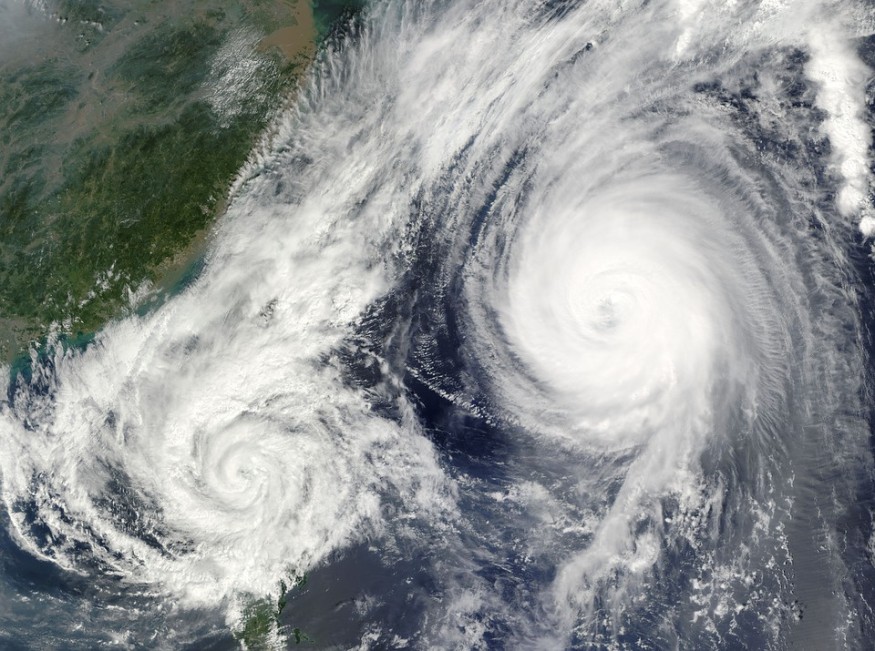
What is 'Bomb Cyclone'?
According to the National Oceanic and Atmospheric Administration (NOAA), bomb cyclone or "Bombogenesis" is a term given by meteorologists to a rapidly strengthening storm that fulfills one crucial criterion.
Fox News' Senior Meteorologist Janice Dean explained that the central pressure must reach at least 24 millibars in 24 hours. Significant impacts include strong winds, high tide, and coastal flooding.
Chris Bianchi, a meteorologist for WeatherNation TV, explained to the Denver Post that a drop in pressure strengthens the storm's power. Bombogenesis can likewise be tropical or non-tropical, added Sosnowski.
Sosnowski explained that "bombogenesis" comes from the terms 'bomb' and 'cyclogenesis.' However, the benchmark would depend on the latitude of the storm, according to CNN senior meteorologist Brandon Miller. Hence, the millibar requirement may vary depending on where the wind is located.
© 2026 NatureWorldNews.com All rights reserved. Do not reproduce without permission.


