Typhoon Hagibis affirmed to be remarkably unfortunate for northern Japan when it struck over the weekend, discharging more than three feet of rain in only 24 hours in certain areas. It likewise caused flash floods and river flooding.
Likewise, strong winds lashed in the Tokyo area, with storm surges and barrelled across Honshu as what might be compared to a Category 2 and after that a Category 1 storm.
Storm track and intensity were crucial factors
One reason the downpour caused such serious effects is the internal core of the storm. With its heaviest rains and highiest winds, it stayed intact as it hit Tokyo and dropped powerful downpours across northeastern Japan also.
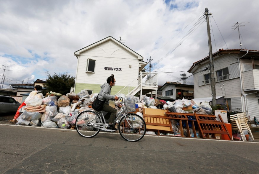
More than 20 rivers in central and northeastern Japan on Sunday burst their riverbanks. It flooded over 1,000 homes in urban communities, towns, and villages, according to The Washington Post's Simon Denyer.
Japan typically experiences five and six typhoons per year; however, not all of these made direct landfall. Cyclones firstly affect the southwestern reaches of Japan and weaken by the time they reach Tokyo.
Typhoon Hagibis, however, stood out for its course and the amount of rainfall it carried to highly populated areas of Japan in a short period. It likewise did not travel overland for a long distance, which made it more damaging.
The eye of the storm hit aground at almost seven o'clock in the evening local time on Saturday on the Izu Peninsula. It is located 80 miles southwest of Tokyo. This route allowed Typhoon Hagibis to continue to gather energy from the oceans and weaken at a slower rate than other storms do when they hit Japan.
Hagibis likewise interacted with the strong winds from the jet stream. It expanded the reach of heavy rains and broadened the wind fields, which made the intense hurricane dispersed across Honshu.
Japan is among the world's well-prepared country for natural disasters, according to news reports; however, the storm's extensive effects and high death toll are unusual for the country this time.
Japan can expect more high-impact storms like Hagibis
Research suggests that Japan could experience frequent and stronger hurricanes in the future because of the warming seas, which is attributed to global warming.
Pieces of evidence show that cyclones from the Pacific Ocean are moving towards their maximum intensities farther north than they used to. It could also send more powerful typhoons into areas that are typically affected by weaker storms, such as Honshu and other parts of northern and northeastern Japan.
The damage costs calculated from typhoons in Japan are increasing, which is noted by the scientists, according to a news report from Washington Post. Typhoon Hagibis will be among the Japanese history's multi-billion-dollar disasters, the news report added.
Typhoon Faxai, which affected Tokyo in early September, is likewise among the three out of the top 10 most pricey Japanese typhoons incurred in the country since 1950, occurring in the past two years alone.
Stephen Bowen, a meteorologist and head of catastrophe insight in Aon Benfield's Impact Forecasting division, said Typhoon Hagibis is most likely to add this number to fourth.
© 2026 NatureWorldNews.com All rights reserved. Do not reproduce without permission.


