Archives
-
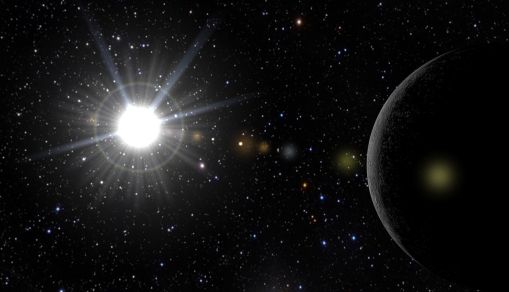
Mercury to Take a Rare 'Transit' of the Sun on Monday
It won't happen again for 13 years. The most significant, rare astronomy event of the year will happen on Monday, November 11. It's incredibly unusual that it won't appear again until 2032.


Latest Research Articles
-

11,000 Scientists Warns Catastrophy If No Climate Actions Done
-

Puppy was Literally Scared to Death from Cardiac Arrest Due to Fireworks
-

The Truth Behind the Paris Agreement Climate Pledges
-

Satellite Tracking Shows How Ships Affect Clouds and Climate
-

Scientists Declare Climate Emergency, Establish Global Indicators for Effective Action
-

Five Tips to Make the Most of Your Trip to Ripley’s Aquarium in Myrtle Beach
-

Five Easy Dry Eyes Solutions that You Probably Did Not Know
-

What Cause the Smog Crisis in New Delhi?
-

Microsoft Japan Enjoys 40% Sales Boost After Day Off Increased
-

Simple Steps You Can Do to Help Conserve Birds
-

Is Your Holiday Travel Harming the World?
-

"Half of Olympics Pool" Oil Leaked from Keystone Pipeline in North Dakota


MOST POPULAR
-

Nanaimoteuthis haggarti: The 62-Foot Giant Prehistoric Octopus That Ruled the Cretaceous Seas
-

Why T-rex Short Arms Evolved: The Strange Truth Behind Tyrannosaurus rex Arm Evolution
-

Endangered Species 2026: Urgent Global Action Needed Immediately to Save Wildlife at Risk
-

How Does Drought Reshape Landscapes and Ecosystems? Stress, Resilience, and Conservation Explained
-

Sea Level Rise Maps Reveal: Coastal Cities Facing Climate Flooding, Acidification, and Erosion Now


