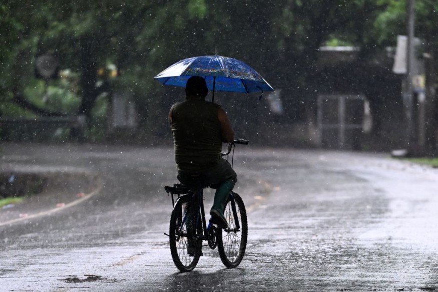
Weather experts said that tens of millions could be at risk for tornadoes, strong winds and hail due to severe weather that can strike the central portion of the United States.
The storm can also bring torrential rains that may later result in floods.
Due to the weather condition, the risk to lives and property has increased over portions of the Great Plains and the likelihood of tornadoes is seen to peak over the weekend.
High-Risk Areas
So far, the major metro areas that are very close to or within the high-risk areas due to the storm include Kansas City, Missouri; Omaha, Nebraska; and Des Moines, Iowa.
Meanwhile, another pocket where a moderate risk of severe weather risks extends from northeastern Texas to southeastern Oklahoma and southwestern Arkansas.
The National Weather Service (NWS) said that low pressure over the Central Plains will move northeastward into East-Central Canada by Sunday morning. Further, a second low will develop over the Southern High Plains by Saturday morning and likewise, move northeastward to the Middle Mississippi Valley by Sunday.
Meteorologists said that showers and severe thunderstorms will develop east of the dryline. Therefore, authorities have already issued an Enhanced Risk (level 3/5) of severe thunderstorms over the Middle/Lower Mississippi Valley and Central/Southern Plains through Saturday morning.
They warned that the weather hazards associated with these thunderstorms would include frequent lightning, severe thunderstorm wind gusts, hail, as well as a few tornadoes.
In addition to these weather conditions, there is also an increased threat of tornadoes and hail, which are seen to be greater than two inches over the said region.
Moreover, heavy rain will also be associated with these storms. Therefore, the Weather Prediction Center has decided to raise a Slight Risk (level 2/4) of excessive rainfall over the Middle/Lower Mississippi Valley and Southern Plains on Saturday morning.
The associated heavy rains will create mainly localized areas of flash flooding, with urban areas, roads, small streams, and low-lying areas the most vulnerable. Aside from the torrential rains, heavy snow will develop over the higher elevations of the Central Rockies overnight Friday into Saturday.
Aside from that, the threat of severe thunderstorms will also continue, while the threat of excessive rainfall increases over parts of southeastern Kansas, southwestern Missouri, Oklahoma, and even in northeast-central Texas.
Weather officials have also raised an Enhanced Risk (level 3/5) of severe thunderstorms over the Middle Mississippi Valley and Central/Southern Plains from Saturday going to Sunday morning.
Meteorologists also disclosed that the weather conditions that are linked and connected to these thunderstorms include frequent lightning, severe thunderstorm wind gusts that are deemed to be powerful, strong hail, and a few tornadoes.
Moreover, there is also an increased threat of tornadoes and hail greater than two inches over the region.
Read Also : Texas-Oklahoma Panhandle Weather: Stormy Conditions, Elevated Fire Concerns Likely this Week
Risk Of Flash Floods
Weather experts also warned that the risk that comes with the flash floods should not be ignored by residents in the affected areas.
They said that the flash flood risk that may be felt on Sunday night will extend over a large portion of the central and southern Plains states, including all of the areas situated in Ozark Mountains.
Tourists and travelers who are planning weekend camping trips are encouraged to avoid setting up in flood-prone areas along small streams.
Officials also warned that rushing high water could also block secondary access roads to and from the campsites.
Related Article : NWS Weather Forecast: Isolated Thunderstorms, Strong Wind Gusts to Hit Parts of Colorado, Utah
© 2026 NatureWorldNews.com All rights reserved. Do not reproduce without permission.


