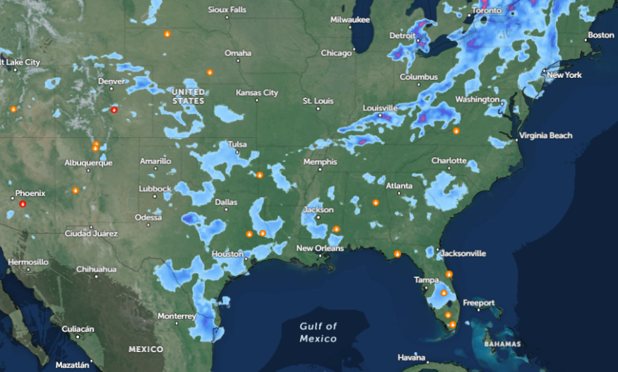
The latest weather report shows that stormy conditions are likely in parts of Oklahoma and Tennessee Valley this week, bringing potentially slower commutes. Additionally, an poor weather outlook with threats of severe thunderstorms is likely in the central and southern Plains.
The National Weather Service (NWS) monitors an upper trough, which could affect southern Rockies. Meanwhile, a potential low-pressure system can intensify.
The NWS Storm Prediction Center warns of an enhanced risk of severe weather in the Texas Panhandle, western Oklahoma, and south-central Kansas. The main dangers are strong to intense tornadoes and large hail. Commuters can also face threats of severe wind gusts.
Moreover, the NWS Weather Prediction Center reports that an excessive rainfall outlook will be likely in the Arklatex region, causing potential threats of isolated flash flooding. The weather forecast notes that the upper-level trough and low-pressure system could unleash heavy rain, affecting low-lying areas.
Americans commuting this week should be extra cautious due to severe weather outlooks in parts of the U.S. Checking for road conditions is important, particularly when traveling in affected areas.
Weather in Oklahoma and Tennesse Valley this week
In the latest NWS Public Discussion, Oklahoma residents can expect potential showers and thunderstorms on Wednesday, spreading over portions of the central and northern Plains.
In Texas, stronger thunderstorms can occur, accompanied by a cold front. In midweek, the stormy conditions can affect from Oklahoma into Tennesse Valley, including the mid-Atlantic. Residents should stay alert for large hail and damaging wind gusts.
For Missouri, the advisory reveals that thunderstorms will continue, including in northeastern Kansas. Potential small hail could unload. In Houston, there is a possible storm chance on Friday or Sunday. The warming trend is expected to return on the weekend.
NWS Austin/San Antonio reports that patchy fog could happen in the Coastal Plains and Interstate 35 corridor. Residents can anticipate a fair weather outlook until the week's end. However, the threats of isolated thunderstorms can occur on the weekend.
In Little Rock, the forecast reveals that an unsettled weather outlook can allow the formation of strong to severe thunderstorms in the region. Precipitation will be likely in parts of Little Rock until the weekend.
Dangerous Severe Weather in Central US
The latest weather report warned of a multiday severe weather outlook in most parts of the central US this week, bringing dangerous hail, tornadoes, and strong winds. The weather is not likely to abate this week but will stay until the weekend.
From Thursday to the weekend, widespread severe weather is likely in the following areas:
- Oklahoma City
- Wichita
- Kansas City
- Dallas
- Austin
- Little Rock
- Peoria
- Indianapolis
- Chicago
For more similar stories, don't forget to follow Nature World News
© 2026 NatureWorldNews.com All rights reserved. Do not reproduce without permission.


