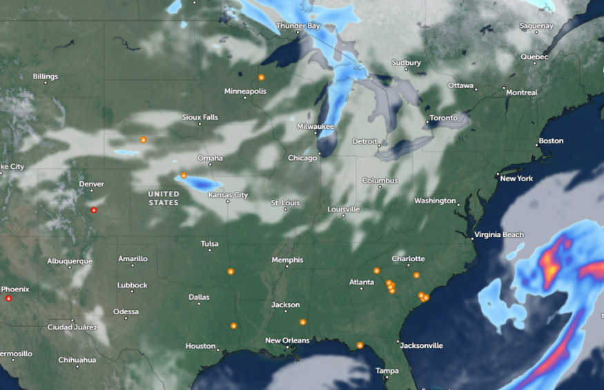
Parts of the Carolinas experienced a huge hailstorm due to a severe weather outlook in the region, causing extensive damage. Meanwhile, the National Weather Service (NWS) reports that potential thunderstorms and showers could unload in the Northeast, Great Plains, and Lower Mississippi Valley this week.
Recently, the NWS forecast warned of severe thunderstorms in parts of southeast Florida, bringing risks of damaging winds and hail. The threat of poor weather conditions reached portions of central Texas and the Southeast US, warning of heavy rains and isolated flash flooding.
Carolinas Severe Weather Impacts
According to a weather report, a huge hailstorm impacted portions of the Carolinas, causing extensive damage to cars and homes. About 4.6 inches in diameter of hail were recorded in Lumberton, North Carolina, while 4.0 in South Carolina.
For residents, keeping updated with the forecasts is important to avoid potential dangers due to severe weather. When storms exacerbate, it's best to stay at home until the weather improves.
In addition to hail, severe weather threats can also unload damaging winds, thunderstorms, heavy rains, flooding, and isolated tornadoes.
Central US Weather Forecast: Threats of Severe Thunderstorms
In the Central US, the latest weather report warns of strong storm conditions in the region this late week. Homeowners should anticipate flooding concerns and tornadoes, impacting parts of the Gulf of Mexico to the central Plains.
On Thursday, large hail and localized damaging winds are likely. The severe weather is forecast in the following areas:
- Kearney
- Lincoln
- Kansas City
- Dodge City
- Wichita
- Tulsa
- Wichita Falls
In Kansas City, breezy and warm conditions are likely in the region, with wind gusts reaching 30 to 40 mph. Elevated fire weather risks are likely in central Missouri.
In the late week, the severe weather is expected to continue in the following areas:
- Austin
- Des Moines
- Kansas City
- Wichita
- Little Rock
- Dallas
- Shreveport
- Springfield
- St. Louis
- Chicago
In Little Rock, a frost advisory was issued in northern Arkansas. Residents should stay alert for a chilly start to the week. Meanwhile, Chicago residents can expect rainy and scattered showers on Interstate 80. In the midweek, people can expect a quiet weather outlook, and the storm can likely erupt in the late week.
A larger system is likely in Des Moines this week, causing showers and thunderstorms on Thursday. The threat of severe weather could unload on Friday.
Due to potential severe weather, commuters should check for the latest forecasts in the central US. Nocturnal tornadoes can threaten at night. Slower commutes and travel disruptions are likely, especially for affected areas in the U.S.
For more similar stories, don't forget to follow Nature World News
© 2026 NatureWorldNews.com All rights reserved. Do not reproduce without permission.


