A front shift that occurred on Sunday, December 10, spared North Jersey from the worst of the heavy rainfall that was expected to cause severe flooding in the region.
What is a Front Shift and How Does It Affect Rainfall?
A front shift is a change in the position or direction of a weather front, which is a boundary between two air masses with different temperatures, pressures, and humidity. A front shift can alter the intensity, duration, and location of rainfall associated with the front.
In this case, the front shift moved the heaviest rainfall of 3 to 5 inches east of the North Jersey area, where it was originally forecasted to fall.
Most places in North Jersey received between 1 and 3 inches of rain, which was still enough to cause some flooding, but not as severe as it could have been.
The front shift was caused by a low-pressure system that moved across the Midwest and interacted with a high-pressure system over the Atlantic Ocean.
The low-pressure system brought warm and moist air from the Gulf of Mexico, while the high-pressure system blocked the cold and dry air from Canada.
The clash of these air masses created a strong jet stream, which is a fast-moving current of air in the upper atmosphere.
The jet stream influenced the movement and shape of the front, pushing it eastward and making it more curved.
Also Read: Eastern US Weather Forecast: Massive Weekend Storm To Bring Heavy Rain, Snow, Travel Concerns
What Were the Impacts of the Front Shift and the Rainfall?
The front shift and the rainfall had both positive and negative impacts on North Jersey and the surrounding areas.
On the positive side, the front shift reduced the risk of major flooding along the Arkansas River, which was already swollen from previous storms.
The rainfall also replenished the soil moisture and reservoir levels, which were low due to a prolonged drought.
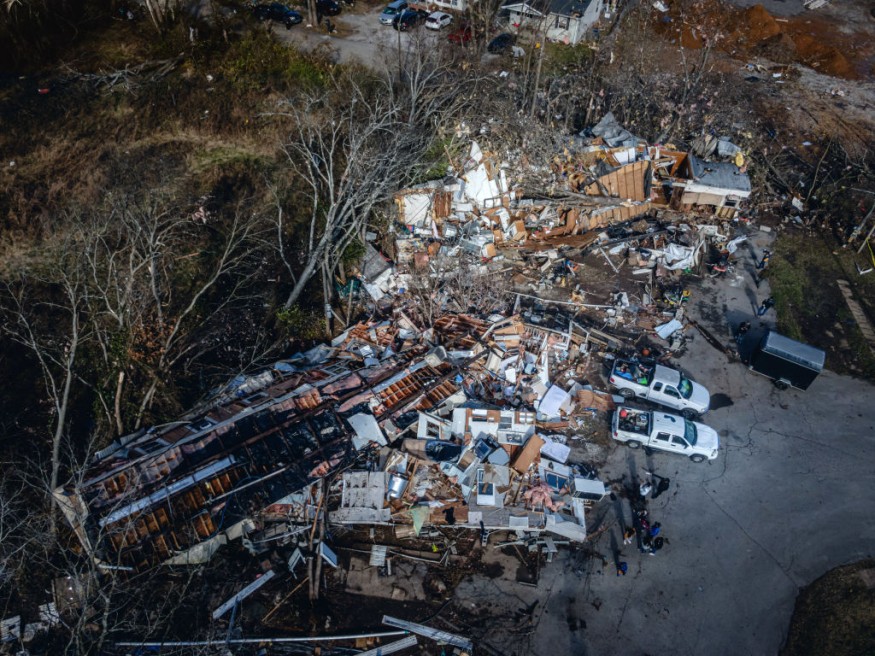
On the negative side, the front shift and the rainfall still caused some flash flooding, especially in low-lying and urban areas.
Some roads, bridges, and basements were inundated with water, and some power outages and traffic disruptions were reported.
The rainfall also triggered some landslides and mudslides in hilly and mountainous areas, damaging some homes and properties.
Moreover, the rainfall increased the potential for mold growth and mosquito breeding, posing health risks for residents
The front shift and the rainfall also affected other parts of the country and the world. In the Midwest, the low-pressure system brought severe thunderstorms, hail, and tornadoes, causing damage and injuries.
On the East Coast, the high-pressure system brought sunny and mild weather, but also increased the risk of wildfires. In the Pacific Northwest and Alaska, the jet stream brought atmospheric rivers, which are long and narrow bands of moisture that can deliver enormous amounts of rain and snow.
These atmospheric rivers caused serious flooding and mudslides in some areas, but also helped alleviate the drought conditions in others.
What Can We Expect in the Future?
The front shift and the rainfall that occurred on December 10 were part of a larger pattern of climate change that is affecting the hydrological cycle.
Climate change is increasing the temperature and moisture content of the atmosphere, resulting in more extreme and variable precipitation events, such as floods and droughts.
Climate change is also altering the global weather patterns, such as the jet stream and the El Niño and La Niña phenomena, which can influence the movement and intensity of weather fronts.
These changes pose significant challenges for society, as they affect the availability and quality of water resources, the safety and security of infrastructure, the health and well-being of people, and the sustainability and productivity of ecosystems.
To cope with these challenges, governments and communities need to adopt innovative and adaptive strategies to manage the risks and opportunities of floods and droughts.
These strategies include improving the monitoring and forecasting of hydrological hazards, enhancing the resilience and efficiency of water systems, promoting the conservation and restoration of watersheds, and fostering the participation and collaboration of stakeholders.
Related article:
U.S. Weather Forecast: Coastal Storm Possible This Weekend Until Next Week
© 2026 NatureWorldNews.com All rights reserved. Do not reproduce without permission.


