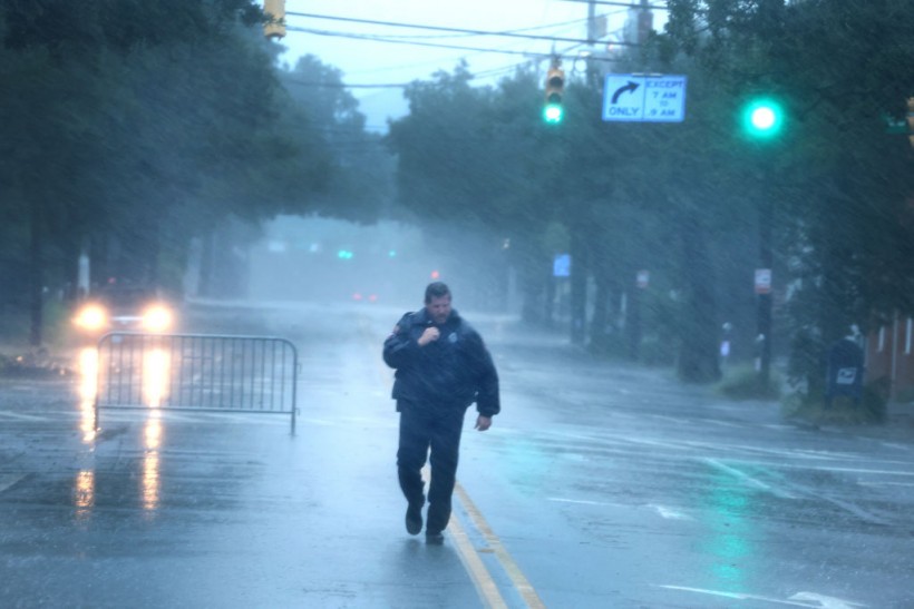
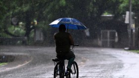
Heavy rain and flooding are threatening south-central United States once again, according to US meteorologists. This comes amid drought conditions in the region for over a month. Evidence shows that the joining of forces of these weather systems may cause the renewed weather hazards in the region. Local authorities advise the public remain vigilant.
Flash Flooding Threat

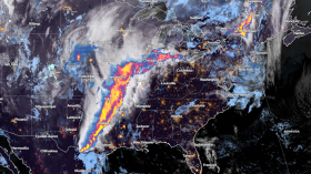
Two weather systems will combine to generate a large area of rainfall machine and increase flash flooding risk in parts of south-central US that are in need of rainfall in the aftermath of months drought, according to AccuWeather meteorologists. Local weather authorities are weighing in the potential impact of the looming weather since it could either bring beneficial or excessive rainfall.
The same storm responsible for the thundershowers in Southern California on Tuesday, October 11, and the same cold front responsible for producing severe thunderstorms in the Midwest will integrate over the southern Rocky Mountains and Great Plains region for several days. The meteorologists estimate it will span from Sunday, October 16, to at least Tuesday, October 18.
In the coming days, 6 inches of rain could occur in parts of Texas and New Mexico. AccuWeather Meteorologist Matt Benz said the storm from Southern California will move eastward as the front stalls over the southern Plains. Forecast suggests the front is likely to crawl southward this coming weekend and into early next week. The slow movement and moisture can bring both beneficial and excessive rainfall.
Also Read: NHC Raises Flash Flood Alerts in Texas as Potentially Deadly Hurricane Pamela Draws Closer
Potential Weather Hazards
AccuWeather issued a significant rain forecast that could result in urban flash flooding, drought relief for some areas, and travel disruptions.
For instance, low-lying grounds in metropolitan areas are good candidates for flooding, even if any rainfall could be a relief for some. Travel disruptions are also possible as floodwaters could disrupt road traffic movement, as well as affect train services.
Major cities in the affected states include Albuquerque, Dallas, and San Antonio. In previous months, majority of these areas have experienced extreme drought conditions.
US Weather Forecast
In other latest US weather forecast, the National Weather Service (NWS) - Weather Prediction Center (WPC) stated that there is a critical fire weather in the Central US, and there is possible flooding in the Northeast US. The NWS - WPC aet 3:51 a.m. EDT (local time) on Friday, October 14, that the flash flooding concerns from the Northeast will shift to the southwest-southern Plains this weekend.
In the Central US, critical fire weather conditions, including dry air and gust winds are expected again in a large area of the central Plains into the mid-Mississippi Valley until Friday. In particular, the said weather conditions are also possible in the northern Cascades this weekend. With this, there is a higher chance growth and spread of wildfire.
The US weather agency adds the "strong cold front" hovering over the Northeast US will continue to bring gusty winds and heavy rain with potential flooding until Friday.
Related Article: Renewed Flash Flooding Risk Over Heavy Rain Threatens Texas Until September 3
© 2024 NatureWorldNews.com All rights reserved. Do not reproduce without permission.

![Tsunami Hazard Zones: New US Map Shows Places at Risk of Flooding and Tsunamis Amid Rising Sea Levels [NOAA]](https://1471793142.rsc.cdn77.org/data/thumbs/full/70325/280/157/50/40/tsunami-hazard-zones-new-us-map-shows-places-at-risk-of-flooding-and-tsunamis-amid-rising-sea-levels-noaa.jpg)


