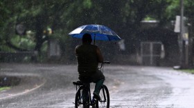
Due to an intense cold front moving over southwest Western Australia, Perth experienced one of its coldest days of the year.
With temperatures expected to fall between 4 and 8C below average today, the air pushing the cold front is described as being "unusually chilly."
Western Australia is expected to see a wintry combination of hail, violent thunderstorms, and perhaps snowflakes.
Coldest days in Perth
 (Photo : Robert Cianflone/Getty Images)

An erratic cold front is expected to move over the whole of the South West Land Division this evening, reaching Geraldton to Hopetoun. It arrived in Perth shortly before noon on Monday, as per 9 News.
Even while this event is not anticipated to be as powerful or lengthy as the storm that impacted Washington last week and caused record-breaking wind gusts in certain locations, it is nevertheless anticipated to be powerful.
Wind gusts of 90 kph have already been seen at Cape Leeuwin and Ocean Reef.
The first cold front would be followed by a pool of cold air on Tuesday, according to senior forecaster Caroline Crow from the Bureau of Meteorology.
This cold air would cause maximum temperatures to plunge and deliver hail to a significant portion of the state.
She warned that as tomorrow approaches, there may be hail in the South West Land Division from around Jurien Bay to Lake Grace to Esperance.
Given the zone of probable hail is relatively far inland, it's generally the coldest outbreak for the southwest of the state that we're looking at for this season so far.
On Tuesday, she predicted that maximum temperatures will often be two to six degrees Celsius below average, with the Great Southern area failing to reach the low teens.
She predicted temperatures between 10 and 12 degrees Celsius for the Great Southern and south coastal areas.
Additionally, the South West Land Division's inland regions extend from Bunbury all the way to the southeast coastline area at that 12C-mile point.
Perth is predicted to see cooler-than-average weather, with a high of 14C in the capital and 13C in Mandurah.
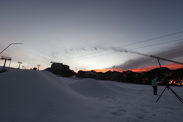
Snow falls in Stirling Range National Park
A rare snowfall was experienced by a group of hikers in Western Australia as a cold front caused temperatures to plunge over the state's south, as per abc News.
About a dozen hikers ascended Bluff Knoll, the highest mountain in the Stirling Range, in anticipation of possible falls.
One of the few locations in Western Australia that regularly report light snowfall is the 1099-meter summit.
On the high mountain peaks of New South Wales and Victoria, snowfall is a common occurrence, but it is uncommon across the low-lying landscape of Western Australia.
Records of snowfall in the west date back to 1846, although according to the WA Snow File, there are only around 1.7 snow occurrences a year.
Snowfall has traditionally been observed in the hills behind Perth and as far north as Geraldton, according to Bureau of Meteorology data.
More snow might fall on Bluff Knoll
The Stirling Ranges' Bluff Knoll might get snow for the second time in a fortnight due to the cold blast, according to Crow.
Tomorrow morning, between 4 and 5 a.m. until noon, it could get chilly enough to see a trace of snow on Bluff Knoll, she added.
On Bluff Knoll, it's more likely to be flurries than to really settle.
Even the possibility of light snowfall on the Perth Hills early on Tuesday has been predicted by one meteorological app, Windy.
Crow, though, deemed that implausible.
Related article: Rare Phenomenon: For the First Time in 64 Years, Streets in Brazil Are Covered in Snow!
© 2024 NatureWorldNews.com All rights reserved. Do not reproduce without permission.
