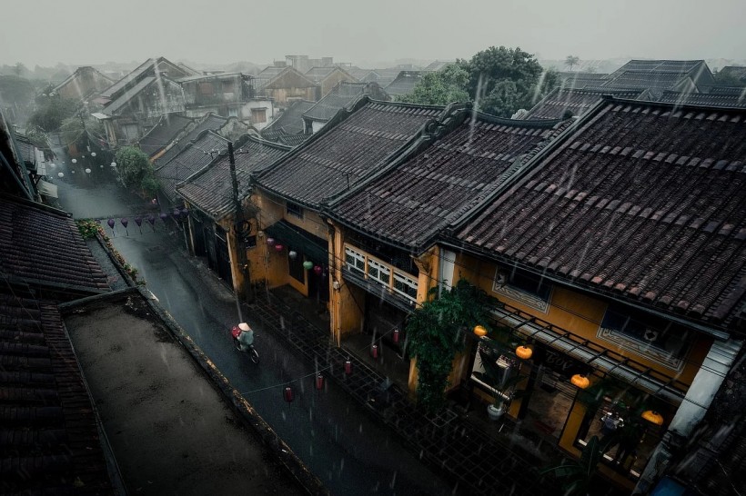
For La Niña, the second time is the charm. It'll be returning in force this spring and maybe summer, bringing with it more drought and a particular focus on the country's southwest.
Josh Willis, a climate scientist at NASA's Jet Propulsion Laboratory, believes that the northeast states will not be affected with this drought.
"This La Niña undoubtedly indicates poor news for the American Southwest, which could expect lower than average rainfall this winter. Although this La Niña isn't a monster, it's nevertheless a bad indication for a drought-stricken area," Willis stated in a report in Agriculture.
During La Niña, the Pacific Northwest frequently has colder and stormier weather, while the rest of the country experiences warmer and drier weather. Mexico's southern and northern regions.
The La Niña event, which began in late 2020, is part of a bigger climatic trend going on for over two decades - the Pacific decadal oscillation's chilly (negative) phase.
The Pacific was trapped in a PDO warm phase during the majority of the 1980s and 1990s, which corresponded with numerous powerful El Nio occurrences. However, since 1999, a period of calm has reigned supreme.
Related Article: How Will the Damp La Niña Season Affect the Scorching American West?
Implications of La Niña
This tendency, according to Willis, correlates with the long-term drought in the American Southwest. Forecasters expected that La Niña conditions would linger through the winter in the Northern Hemisphere, with a 60% likelihood that the water will return to neutral conditions in the April-June timeframe, according to a research issued late in 2021.
In many parts of the world, La Niña is associated with a rise in the risk of above- and below-average precipitation. During distinct seasons of the year, the amount of precipitation changes. The central and eastern Sahel (June-September) and Southern Africa (October-November) are the principal rainfall seasons in Sub-Saharan Africa with moist weather (October-May).
Comparing Seasons

During the precipitation seasons of winter and spring in Central Asia, dry conditions are most frequent. During July and September, rainy weather is more likely in northern Central America and the Caribbean nations.
La Niña occurs when easterly solid trade winds enhance the upwelling of colder water from the depths of the eastern tropical Pacific, causing a large-scale cooling of the central and east Pacific Ocean surface near the equator. It is part of the El Nio-Southern Oscillation cycle.
The warm equatorial surface waters are also being pushed westward by these stronger-than-usual trade winds toward Asia and Australia. The atmosphere is affected by this significant cooling of the ocean's surface layers, which changes the moisture content of the whole Pacific.
This atmospheric-ocean interaction changes atmospheric circulation and can lead mid-latitude jet streams to shift in ways that increase rainfall in some areas while causing dryness in others.
Also Read: La Niña Winter: Atmospheric Extremes May Last the Entire Season
For more news about the environment, don't forget to follow Nature World News!
© 2024 NatureWorldNews.com All rights reserved. Do not reproduce without permission.


![Roundworms with Short Memories 'Stop Forgetting' When Frozen or Given Lithium [Study]](https://1471793142.rsc.cdn77.org/data/thumbs/full/70295/280/157/50/40/roundworms-with-short-memories-stop-forgetting-when-frozen-or-given-lithium-study.jpg)
