Over the next few months, La Niña is likely to impact temperature and precipitation patterns in the United States.

What Happens During La Niña Winters?
Typically, during the La Niña winter:
-Temperatures in the southern United States are above average, while precipitation is below average.
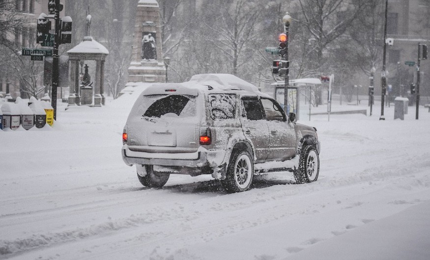
-The northern United States has below-average temperatures and above-average precipitation (especially in the Northern Plains and Northwest).
The upper-level pattern, which includes an upper-level ridge of high pressure in the Aleutians that drives the jet stream northward through Alaska and then southward to near the US/Canada border, gives rise to these themes. Colder air is kept in the northern tier as a result of this. Furthermore, the storm is moving north, leaving the South dry and mild.
Atmospheric Temperatures
However, La Niña, El Niño, or the lack is only one aspect of the whole atmospheric picture. Other atmospheric variables can overcome what's predicted in a La Niña winter, but those elements won't be known until the season is well underway.
La Niña is the cooling of the equatorial eastern and central Pacific Ocean regularly. La Niña occurs when sea surface temperatures are at least 0.9 degrees Fahrenheit (0.5 degrees Celsius) lower than usual, with constant atmospheric indicators for three months.
The interaction of this cooler-than-average water with the atmosphere can impact weather conditions thousands of kilometers distant in the United States and around the world.
Sea-surface temperatures have risen substantially below average during the last month and spread over the central and eastern equatorial Pacific. According to the latest NOAA prediction released on Thursday, atmospheric conditions also show that La Niña has evolved.
As a result, the National Oceanic and Atmospheric Administration (NOAA) issued a La Niña advisory, indicating that La Niña is present.
According to NOAA, there is an 87 percent likelihood that La Niña will continue into the winter. In addition, the majority of computer models believe that La Niña will persist until at least February.
A moderate amount of power La Niña is also anticipated to reach its peak between November and January, according to NOAA.
This will be the second consecutive winter with La Niña, often known as a "double-dip." La Niña formed in August of last year and dispersed in April of the following year.
According to Mike Halpert, deputy director of NOAA's Climate Prediction Center, the probable development of La Niña was a factor in the above-normal hurricane season projection.
Extreme Conditions

Trade winds move west along the equator in typical circumstances in the Pacific Ocean, transporting warm water from South America to Asia. Coldwater rises from the deep to replace the warm water, a process known as upwelling. El Niño and La Niña are two opposite climatic trends that deviate from the norm.
In Spanish, La Niña translates to "Little Girl." El Viejo, anti-El Niño, and simply "a chilly event" are all terms used to describe La Niña . The impact of La Niña is the polar opposite of El Niño. Trade winds are greater than usual during La Niña occurrences, bringing more warm water toward Asia. Upwelling occurs off the west coast of the Americas, bringing cold, nutrient-rich water to the surface.
© 2026 NatureWorldNews.com All rights reserved. Do not reproduce without permission.


